
- Afhalen na 1 uur in een winkel met voorraad
- Gratis thuislevering in België vanaf € 30
- Ruim aanbod met 7 miljoen producten
- Afhalen na 1 uur in een winkel met voorraad
- Gratis thuislevering in België vanaf € 30
- Ruim aanbod met 7 miljoen producten


€ 29,45
+ 58 punten
Omschrijving
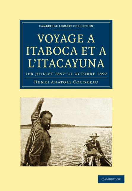
Henri Coudreau (1859-1899) was one of the greatest explorers of the nineteenth century. Highly regarded in his own time as a thoroughly modern expedition leader, he did much of his work on behalf of the French colonial authorities in South America. However, towards the end of his life he undertook several expeditions for the Brazilian government of the state of Para. This book describes his fourth such journey, during the summer of 1897. Coudreau's objective was to study the Cachoeiras de Itaboca (waterfalls) and the river Itacayuna to find out whether they could be made navigable to steamships in order to connect this region with Para and other parts of Brazil. With 76 illustrations and 40 maps, this 1898 publication was the most extensive description of the region then available. It includes weather records and lists the altitudes of key locations and the distances between them.
Specificaties
Betrokkenen
- Auteur(s):
- Uitgeverij:
Inhoud
- Aantal bladzijden:
- 224
- Taal:
- Frans
- Reeks:
Eigenschappen
- Productcode (EAN):
- 9781108006927
- Verschijningsdatum:
- 26/11/2009
- Uitvoering:
- Paperback
- Formaat:
- Trade paperback (VS)
- Afmetingen:
- 170 mm x 244 mm
- Gewicht:
- 362 g


Alleen bij Standaard Boekhandel
+ 58 punten op je klantenkaart van Standaard Boekhandel
Cadeau

AANGERADEN


Beoordelingen
We publiceren alleen reviews die voldoen aan de voorwaarden voor reviews. Bekijk onze voorwaarden voor reviews.