
- Afhalen na 1 uur in een winkel met voorraad
- In januari gratis thuislevering in België
- Ruim aanbod met 7 miljoen producten
- Afhalen na 1 uur in een winkel met voorraad
- In januari gratis thuislevering in België
- Ruim aanbod met 7 miljoen producten


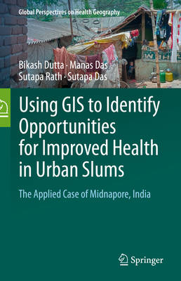
Using GIS to Identify Opportunities for Improved Health in Urban Slums
The Applied Case of Midnapore, India
Bikash Dutta, Manas Das, Sutapa Rath, Sutapa Das
€ 162,45
+ 324 punten
Omschrijving
This book offers geospatial modelling techniques for the analysis of healthcare in poor urban neighborhoods and of the ways that residents of these neighborhoods make healthcare choices and cope with deprivation.
Specificaties
Betrokkenen
- Auteur(s):
- Uitgeverij:
Inhoud
- Aantal bladzijden:
- 265
- Taal:
- Engels
- Reeks:
Eigenschappen
- Productcode (EAN):
- 9783031896163
- Verschijningsdatum:
- 17/07/2025
- Uitvoering:
- Hardcover
- Formaat:
- Genaaid
- Afmetingen:
- 165 mm x 237 mm
- Gewicht:
- 630 g


Alleen bij Standaard Boekhandel
+ 324 punten op je klantenkaart van Standaard Boekhandel
Cadeau

AANGERADEN


Beoordelingen
We publiceren alleen reviews die voldoen aan de voorwaarden voor reviews. Bekijk onze voorwaarden voor reviews.