- Afhalen na 1 uur in een winkel met voorraad
- Gratis thuislevering in België vanaf € 30
- Ruim aanbod met 7 miljoen producten
- Afhalen na 1 uur in een winkel met voorraad
- Gratis thuislevering in België vanaf € 30
- Ruim aanbod met 7 miljoen producten
Zoeken
Omschrijving
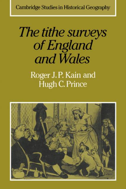
The rural landscape of England and Wales in the mid-nineteenth century is minutely depicted in the large-scale plans and schedules drawn for the Tithe Commissioners. Among other features shown on the maps are field boundaries and rights of way, whilst the accompanying schedules record the names of owners and occupiers, field names, land use and area. The amount of detailed information they provide, together with their uniformity, place the surveys as the most complete record of the agrarian landscape at any period. This book describes the nature of tithe payments, the Tithe Commutation Act of 1836 and the survey of over 11,000 parishes. The uses made of the surveys for reconstructing early field systems, for tracing land use and understanding farming practices, are systematically considered, The abstraction, computer processing and mapping of vast quantities of data are discussed.
Specificaties
Betrokkenen
- Auteur(s):
- Uitgeverij:
Inhoud
- Aantal bladzijden:
- 344
- Taal:
- Engels
- Reeks:
- Reeksnummer:
- nr. 6
Eigenschappen
- Productcode (EAN):
- 9780521024310
- Verschijningsdatum:
- 20/04/2006
- Uitvoering:
- Paperback
- Formaat:
- Trade paperback (VS)
- Afmetingen:
- 152 mm x 229 mm
- Gewicht:
- 503 g

Alleen bij Standaard Boekhandel
+ 129 punten op je klantenkaart van Standaard Boekhandel
Beoordelingen
We publiceren alleen reviews die voldoen aan de voorwaarden voor reviews. Bekijk onze voorwaarden voor reviews.


