Bedankt voor het vertrouwen het afgelopen jaar! Om jou te bedanken bieden we GRATIS verzending (in België) aan op alles gedurende de hele maand januari.
- Afhalen na 1 uur in een winkel met voorraad
- In januari gratis thuislevering in België
- Ruim aanbod met 7 miljoen producten
Bedankt voor het vertrouwen het afgelopen jaar! Om jou te bedanken bieden we GRATIS verzending (in België) aan op alles gedurende de hele maand januari.
- Afhalen na 1 uur in een winkel met voorraad
- In januari gratis thuislevering in België
- Ruim aanbod met 7 miljoen producten
Zoeken
Omschrijving
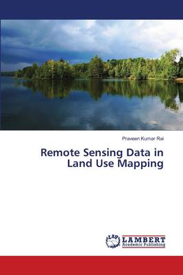
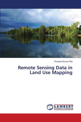
Remote sensing data have been used to monitor land use changes; this has an important role in urban and rural development and the determination of natural resources. Also, remote sensing is very useful for the production of land use and land cover statistics which can be useful to determine the distribution of land uses in the watershed. Using remote sensing techniques to develop land use classification mapping is a useful and detailed way to improve the selection of areas designed to agricultural, urban and/or industrial areas of a region. The present study shows the land use/land cover and their changes. As land is the most important resource for man and also the most important physical elements for development, the land is used for various purposes which are evident from preceding chapter, the new changes has also been found through study of satellite imagery and field checks. The land use in the study area has been categorized under different categories using remote sensing data and GIS techniques and the changes have been discussed.
Specificaties
Betrokkenen
- Auteur(s):
- Uitgeverij:
Inhoud
- Aantal bladzijden:
- 84
- Taal:
- Engels
Eigenschappen
- Productcode (EAN):
- 9783659485466
- Verschijningsdatum:
- 2/11/2013
- Uitvoering:
- Paperback
- Afmetingen:
- 150 mm x 5 mm
- Gewicht:
- 129 g

Alleen bij Standaard Boekhandel
+ 132 punten op je klantenkaart van Standaard Boekhandel
Beoordelingen
We publiceren alleen reviews die voldoen aan de voorwaarden voor reviews. Bekijk onze voorwaarden voor reviews.


