
- Afhalen na 1 uur in een winkel met voorraad
- Gratis thuislevering in België vanaf € 30
- Ruim aanbod met 7 miljoen producten
- Afhalen na 1 uur in een winkel met voorraad
- Gratis thuislevering in België vanaf € 30
- Ruim aanbod met 7 miljoen producten


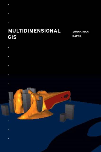
Multidimensional Geographic Information Science
Jonathan Raper
€ 155,95
+ 311 punten
Omschrijving
The way people normally view a GIS is 2-dimensional, a greatly limiting form. However, as developments occur within the field, researchers and practitioners are finding ways to make a GIS 3-dimensional, and in some instances even 4-dimensional. Being able to view a GIS in more than 2 dimensions greatly enhances its usability. This forward-looking text, looks at the ways in which 3- and 4-dimensional (multidimensional) GIS can be incorporated into the area in the future using a variety of programming techniques. The author of this unique book also discusses current examples and uses of multidimensional GIS in the field and shows the way forward for users in the coming years.
Specificaties
Betrokkenen
- Auteur(s):
- Uitgeverij:
Inhoud
- Aantal bladzijden:
- 320
- Taal:
- Engels
- Reeks:
Eigenschappen
- Productcode (EAN):
- 9780748405077
- Verschijningsdatum:
- 23/11/2000
- Uitvoering:
- Paperback
- Formaat:
- Trade paperback (VS)
- Afmetingen:
- 157 mm x 233 mm
- Gewicht:
- 566 g


Alleen bij Standaard Boekhandel
+ 311 punten op je klantenkaart van Standaard Boekhandel
Cadeau

AANGERADEN


Beoordelingen
We publiceren alleen reviews die voldoen aan de voorwaarden voor reviews. Bekijk onze voorwaarden voor reviews.