
- Afhalen na 1 uur in een winkel met voorraad
- Gratis thuislevering in België vanaf € 30
- Ruim aanbod met 7 miljoen producten
- Afhalen na 1 uur in een winkel met voorraad
- Gratis thuislevering in België vanaf € 30
- Ruim aanbod met 7 miljoen producten


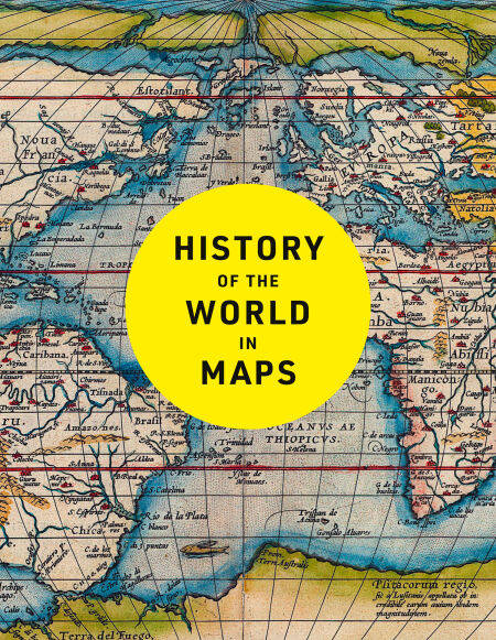
History of the World in Maps E-BOOK
The ultimate cartographic exploration of our past
Philip Parker
E-book | Engels
€ 32,64
+ 32 punten
Uitvoering
Omschrijving
Every map tells a story and this book tells the incredible history of our world through maps.
From Babylonian tablets to digital mapping, the world has evolved rapidly, along with the ways in which we understand and depict it. In this time, cartography has not only kept pace with these changes, but has often driven them. In this fully revised and updated edition spanning more than 4,500 years, each individual map provides a unique visual insight into our past.
This beautifully designed collection includes many famous examples of cartography, along with some that deserve to be better known. Witness countries and cities come and go, empires rise and fall, significant geographical discoveries, and key historical events unfold.
Key maps shown include:
Babylonian clay tablets, c.2300 BC and c.600 BC – some of the world’s oldest surviving maps
Hereford Mappa Mundi, c. 1290 – medieval map of the world
Aztec City Maps 1524/1541 – precious images of the Aztec capital and their migrations before the Spanish came
Cook Chart of New Zealand, 1770 – the first complete chart of the coastline showing that New Zealand was made up of two islands
Selden Map of China, c. 1620 – Ming map of China and South-east Asia
The Scramble for Africa, 1852/1898 – the European powers rush to colonise Africa
Booth Poverty Map, 1898 – mapping deprivation in Victorian London
Ypres, 1918 – mapping the deaths in one of the First World War’s bloodiest battles
Cuban Missile Crisis, 1962 – map used by President John F. Kennedy during the crisis
COVID map, 2021 – a map of the Global Pandemic
Specificaties
Betrokkenen
- Auteur(s):
- Uitgeverij:
Inhoud
- Aantal bladzijden:
- 256
- Taal:
- Engels
Eigenschappen
- Productcode (EAN):
- 9780008794941
- Verschijningsdatum:
- 8/10/2025
- Uitvoering:
- E-book
- Beveiligd met:
- Adobe DRM
- Formaat:
- ePub


Alleen bij Standaard Boekhandel
+ 32 punten op je klantenkaart van Standaard Boekhandel
CADEAU

E-BOOK ACTIE


Beoordelingen
We publiceren alleen reviews die voldoen aan de voorwaarden voor reviews. Bekijk onze voorwaarden voor reviews.