Bedankt voor het vertrouwen het afgelopen jaar! Om jou te bedanken bieden we GRATIS verzending (in België) aan op alles gedurende de hele maand januari.
- Afhalen na 1 uur in een winkel met voorraad
- In januari gratis thuislevering in België
- Ruim aanbod met 7 miljoen producten
Bedankt voor het vertrouwen het afgelopen jaar! Om jou te bedanken bieden we GRATIS verzending (in België) aan op alles gedurende de hele maand januari.
- Afhalen na 1 uur in een winkel met voorraad
- In januari gratis thuislevering in België
- Ruim aanbod met 7 miljoen producten
Zoeken
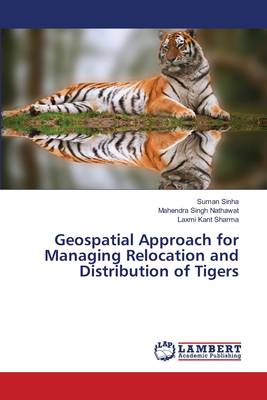
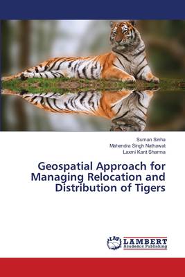
Geospatial Approach for Managing Relocation and Distribution of Tigers
Suman Sinha, Mahendra Singh Nathawat, Laxmi Kant Sharma
Paperback | Engels
€ 88,45
+ 176 punten
Omschrijving
The Indian tiger (Panthera tigris tigris Linn. 1758), one of the world's most endangered umbrella carnivore species, is now thought to be in the verge of extinction in the wild. Sariska National Park in India is considered to be a highly suitable habitat for the tigers. However, in 2005, due to extensive poaching there were no tigers left in this park. There is some hope of further relocation of tigers from other parts of India in order to conserve them well under the prevailing conditions. The aim of the study is to model the tiger habitat suitability with the current human impacts with integrated Geospatial technology. Our study used topographical and anthropogenic variables to construct a habitat suitability model for tigers in this park. According to our model, there are areas of suitable habitat for tigers within the park. The corresponding weights for the parameters are defined by knowledge-based approach determined by field study and literature survey and thereafter by applying MCDA where AHP (crisp and fuzzy) is applied. The resulting weights imported in GIS mode and the map obtained from MCDA model in GIS shows the optimum location for the site suitability for the tiger.
Specificaties
Betrokkenen
- Auteur(s):
- Uitgeverij:
Inhoud
- Aantal bladzijden:
- 204
- Taal:
- Engels
Eigenschappen
- Productcode (EAN):
- 9783659521041
- Verschijningsdatum:
- 23/02/2014
- Uitvoering:
- Paperback
- Afmetingen:
- 150 mm x 220 mm
- Gewicht:
- 287 g

Alleen bij Standaard Boekhandel
+ 176 punten op je klantenkaart van Standaard Boekhandel
Beoordelingen
We publiceren alleen reviews die voldoen aan de voorwaarden voor reviews. Bekijk onze voorwaarden voor reviews.


