- Afhalen na 1 uur in een winkel met voorraad
- Gratis thuislevering in België vanaf € 30
- Ruim aanbod met 7 miljoen producten
- Afhalen na 1 uur in een winkel met voorraad
- Gratis thuislevering in België vanaf € 30
- Ruim aanbod met 7 miljoen producten
Zoeken
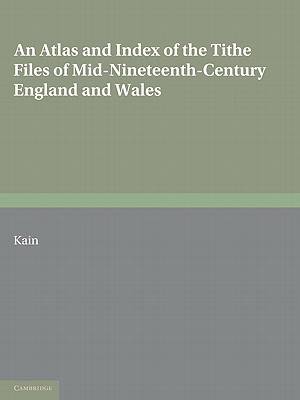
An Atlas and Index of the Tithe Files of Mid-Nineteenth-Century England and Wales
Roger J P Kain
Paperback | Engels
€ 132,45
+ 264 punten
Omschrijving
The tithe surveys of the early Victorian Age, after the great Domesday Book of the eleventh century, represent the most detailed and important national inventory to be taken before our own times. This 1986 book reconstructs elements of mid-nineteenth-century rural landscapes and farming systems by analysing the wealth of quantitative data which these tithe surveys contain, communicated cartographically by a set of 582 computer-generated maps, and statistically by a series of tables. The book also reveals the richness and variety of written evidence which the 14,829 parish tithe files (P.R.O. Class IR 18) contain, by means of analytical place and subject indexes for each English and Welsh county (some 200,000 entries in all) and by essays in which themes commonly encountered in the tithe file papers of each county are described. These sections of the book will be an essential tool for historians and historical geographers.
Specificaties
Betrokkenen
- Auteur(s):
- Uitgeverij:
Inhoud
- Aantal bladzijden:
- 680
- Taal:
- Engels
Eigenschappen
- Productcode (EAN):
- 9780521071543
- Verschijningsdatum:
- 21/07/2011
- Uitvoering:
- Paperback
- Formaat:
- Trade paperback (VS)
- Afmetingen:
- 210 mm x 279 mm
- Gewicht:
- 1501 g

Alleen bij Standaard Boekhandel
+ 264 punten op je klantenkaart van Standaard Boekhandel
Beoordelingen
We publiceren alleen reviews die voldoen aan de voorwaarden voor reviews. Bekijk onze voorwaarden voor reviews.


