- Afhalen na 1 uur in een winkel met voorraad
- Gratis thuislevering in België vanaf € 30
- Ruim aanbod met 7 miljoen producten
- Afhalen na 1 uur in een winkel met voorraad
- Gratis thuislevering in België vanaf € 30
- Ruim aanbod met 7 miljoen producten
Zoeken
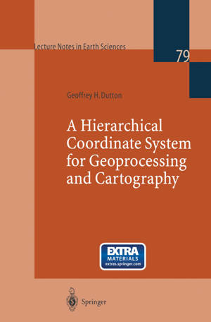
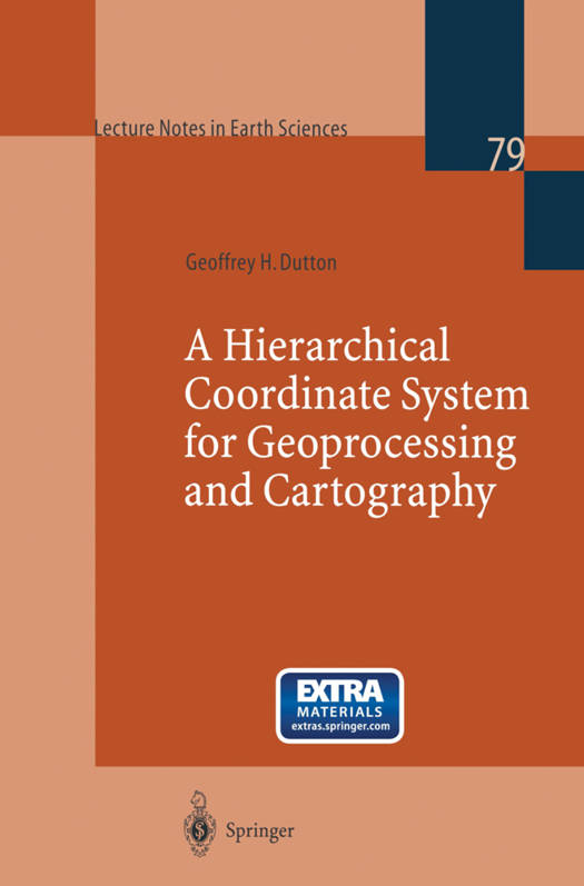
A Hierarchical Coordinate System for Geoprocessing and Cartography
Geoffrey H Dutton
€ 52,95
+ 105 punten
Omschrijving
When spatial data is digitized for use in geographic information systems and other software, information about its original scale, resolution and accuracy is frequently lost. As a result, using such information at different scales and combining it with data from other sources may be difficult. Mapping vector data at smaller than the original scale requires its generalization, which is usually handled by post-processing in ways that are only weakly supported by databases. The models and methods described in this book overcome many such problems by providing a multi-resolution data representation that allows retrieval of map data at a hierarchy of scales, as well as documenting the accuracy of every spatial coordinate.
Specificaties
Betrokkenen
- Auteur(s):
- Uitgeverij:
Inhoud
- Aantal bladzijden:
- 230
- Taal:
- Engels
- Reeks:
- Reeksnummer:
- nr. 79
Eigenschappen
- Productcode (EAN):
- 9783540649809
- Verschijningsdatum:
- 20/10/1998
- Uitvoering:
- Paperback
- Formaat:
- Trade paperback (VS)
- Afmetingen:
- 156 mm x 234 mm
- Gewicht:
- 353 g

Alleen bij Standaard Boekhandel
+ 105 punten op je klantenkaart van Standaard Boekhandel
Beoordelingen
We publiceren alleen reviews die voldoen aan de voorwaarden voor reviews. Bekijk onze voorwaarden voor reviews.


