
- Afhalen na 1 uur in een winkel met voorraad
- Gratis thuislevering in België vanaf € 30
- Ruim aanbod met 7 miljoen producten
- Afhalen na 1 uur in een winkel met voorraad
- Gratis thuislevering in België vanaf € 30
- Ruim aanbod met 7 miljoen producten


Boeken geschreven door Geographers' A-Z Map Co Ltd

-

South West Coast Path - North Devon & Somerset
Geographers' A-Z Map Co Ltd
- Paperback | Engels | Z Adventure
- Plan your next adventure along the North Devon & Somerset section of the South West Coast Path with trusted mapping from A-Z The perfect companion for... Lees meer
€ 16,95€ 16,95 -
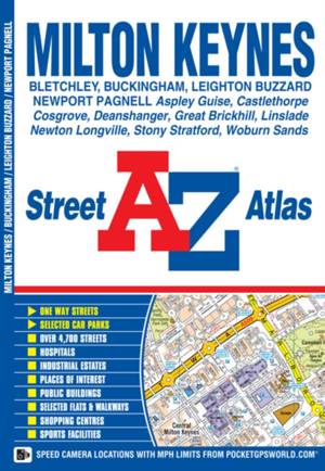
Milton Keynes A-Z Street Atlas
Geographers' A-Z Map Co Ltd
- Paperback | Engels
- This A-Z map of Milton Keynes, Buckingham and Leighton Buzzard is a full colour street atlas featuring 25 pages of street mapping.-Milton Keynes cover... Lees meer
€ 8,45€ 8,45 -
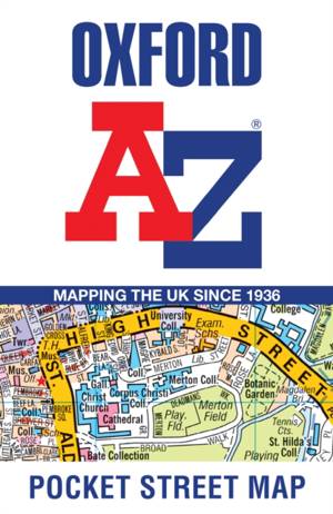
Oxford A-Z Pocket Street Map
Geographers' A-Z Map Co Ltd
- Paperback | Engels
- This up-to-date detailed A-Z street map includes 1,600 streets in and around Oxford. As well as the University of Oxford colleges, the other areas cov... Lees meer
€ 6,95€ 6,95 -
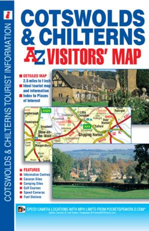
Cotswolds & Chilterns A-Z Visitors' Map
Geographers' A-Z Map Co Ltd
- Paperback | Engels
- This map of the Cotswolds & Chilterns is a full colour visitors' map featuring road mapping that covers an area extending to: -Worcester-Royal Leaming... Lees meer
€ 10,45€ 10,45 -
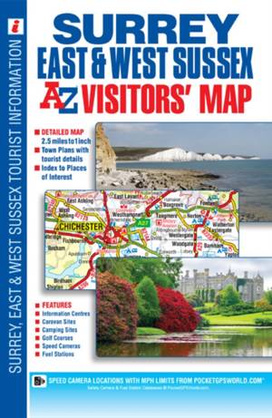
Surrey, East & West Sussex A-Z Visitors' Map
Geographers' A-Z Map Co Ltd
- Paperback | Engels
- This full colour visitors' map of Surrey, East Sussex & West Sussex features road mapping that covers an area extending to: -The south coast from Port... Lees meer
€ 10,45€ 10,45 -
South West Coast Path - South Devon
Geographers' A-Z Map Co Ltd
- Paperback | Engels | Z Adventure
- Plan your next adventure along the South Devon section of the South West Coast Path with trusted mapping from A-Z The perfect companion for those who ... Lees meer
€ 16,95€ 16,95 -
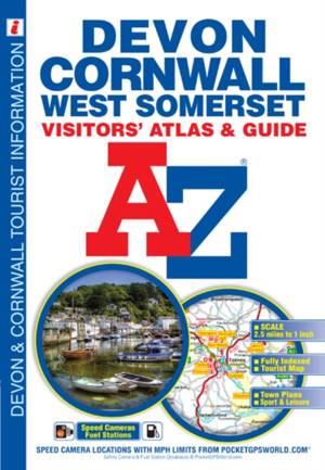
Devon, Cornwall & West Somerset A-Z Visitors' Atlas
Geographers' A-Z Map Co Ltd
- Paperback | Engels | A-Z Street Maps & Atlases S
- This full colour atlas of Devon, Cornwall and West Somerset combines 32 pages of road mapping with an illustrated town plan section to provide an info... Lees meer
€ 11,95€ 11,95 -
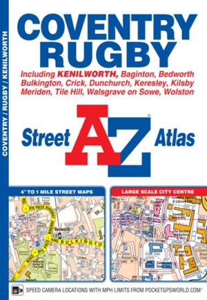
Coventry A-Z Street Atlas
Geographers' A-Z Map Co Ltd
- Paperback | Engels
- This A-Z map of Coventry and Rugby features 45 pages of continuous street mapping extending to: -Bedworth-Bulkington-Keresley-Allesley-Baginton-Covent... Lees meer
€ 10,45€ 10,45 -

Cleveland Way A-Z Adventure Atlas
Geographers' A-Z Map Co Ltd
- Paperback | Engels | A -Z Adventure Series
- The A-Z Adventure Series of maps combines the best of OS and A-Z, creating the perfect companion for walkers, off-road cyclists, horse riders and anyo... Lees meer
€ 12,95€ 12,95 -
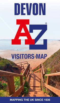
Devon A-Z Visitors Map
- Gevouwen kaart | Engels
- Explore the whole county of Devon extending from Taunton to Plymouth. With detailed road mapping and illustrated town plans of major cities, this feat... Lees meer
€ 9,95€ 9,95 -
South West Coast Path - North Cornwall
Geographers' A-Z Map Co Ltd
- Paperback | Engels | Z Adventure
- Plan your next adventure along the North Cornwall section of the South West Coast Path with trusted mapping from A-Z The perfect companion for those w... Lees meer
€ 16,95€ 16,95 -
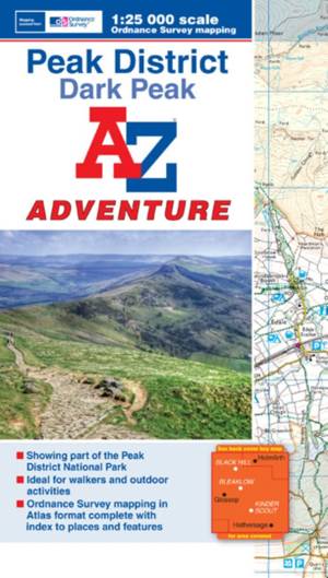
Peak District (Dark Peak) A-Z Adventure Atlas
Geographers' A-Z Map Co Ltd
- Paperback | Engels | A-Z Adventure Atlas
- The A-Z Adventure series features the accuracy and quality of OS Explorer mapping in a convenient book, complete with index.The A-Z Adventure series i... Lees meer
€ 13,45€ 13,45 -
South West Coast Path - Dorset
Geographers' A-Z Map Co Ltd
- Paperback | Engels | Z Adventure
- Plan your next adventure along the Dorset section of the South West Coast Path with trusted mapping from A-Z The perfect companion for those who love ... Lees meer
€ 16,95€ 16,95 -
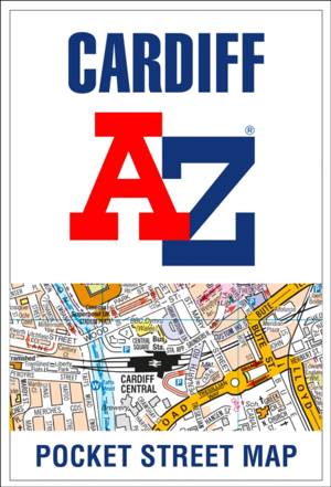
Cardiff A-Z Pocket Street Map
Geographers' A-Z Map Co Ltd
- Paperback | Engels
- This up-to-date detailed A-Z street map indexes 2,025 streets in and around Cardiff. As well as Cardiff Bay, the other areas covered are Cathays, Roat... Lees meer
€ 4,45€ 4,45 -
Cheltenham A-Z Pocket Street Map
- Gevouwen kaart | Engels
- Navigate your way around Cheltenham with detailed street maps from A-Z Lees meer
€ 5,95€ 5,95 -
South West Coast Path - South Cornwall
Geographers' A-Z Map Co Ltd
- Paperback | Engels | Z Adventure
- Plan your next adventure along the South Cornwall section of the South West Coast Path with trusted mapping from A-Z The perfect companion for those w... Lees meer
€ 16,95€ 16,95 -
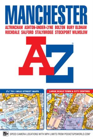
Manchester A-Z Street Atlas (Paperback)
Geographers' A-Z Map Co Ltd
- Paperback | Engels
- This A-Z map of Manchester includes coverage of: -Manchester-Altrincham-Ashton-under-Lyne-Bolton-Bury-Oldham-Rochdale-Salford-StockportThe paperback b... Lees meer
€ 11,95€ 11,95 -
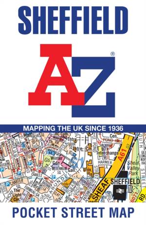
Sheffield A-Z Pocket Street Map
Geographers' A-Z Map Co Ltd
- Paperback | Engels
- This up-to-date detailed A-Z street map includes 3,219 streets in and around Sheffield. As well as the central shopping area, the other areas covered ... Lees meer
€ 6,95€ 6,95 -
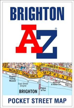
Brighton A-Z Pocket Street Map
Geographers' A-Z Map Co Ltd
- Paperback | Engels
- This up-to-date detailed A-Z street map includes 2,600 streets in and around Brighton. As well as the sea front and Brighton Palace Pier, the other ar... Lees meer
€ 4,45€ 4,45 -
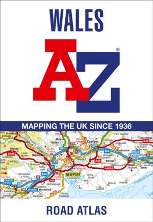
Wales A-Z Road Atlas
- Gevouwen kaart | Engels
- Full-colour road atlas of Wales, with extended coverage into England and including all the major routes into the country. The detailed road mapping al... Lees meer
€ 11,45€ 11,45 -
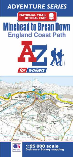
England Coast Path Minehead to Brean Down A-Z Adventure Map
Geographers' A-Z Map Co Ltd
- Paperback | Engels
- The A-Z Adventure Series of maps combines the best of OS and A-Z, creating the perfect companion for walkers, off-road cyclists, horse riders and anyo... Lees meer
€ 8,45€ 8,45 -
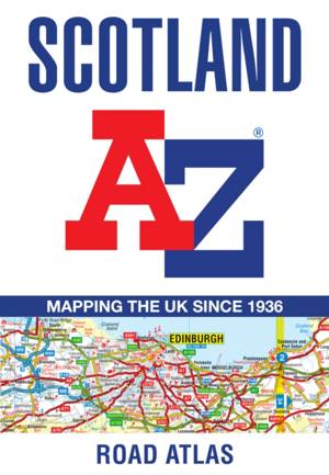
Scotland A-Z Road Atlas
Geographers' A-Z Map Co Ltd
- Paperback | Engels
- From the border to the north coast, the mainland pages scale is 3.5 miles to 1 inch and the Western Isles, Shetland Islands, and Orkney Islands scale ... Lees meer
€ 13,45€ 13,45 -

Yorkshire A-Z Visitors Map
- Gevouwen kaart | Engels
- Explore the whole region of Yorkshire extending from Sheffield to Darlington. With detailed road mapping and illustrated town plans of major cities, t... Lees meer
€ 9,95€ 9,95 -
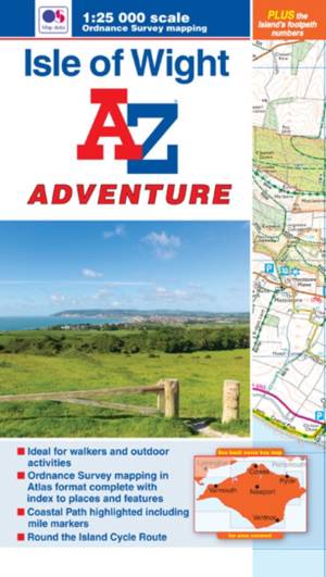
Isle of Wight A-Z Adventure Atlas
Geographers' A-Z Map Co Ltd
- Paperback | Engels
- The A-Z Adventure series features the accuracy and quality of OS 1:25000 maps in a convenient book, complete with index.An innovative concept, the A-Z... Lees meer
€ 11,45€ 11,45