
- Afhalen na 1 uur in een winkel met voorraad
- Gratis thuislevering in België vanaf € 30
- Ruim aanbod met 7 miljoen producten
- Afhalen na 1 uur in een winkel met voorraad
- Gratis thuislevering in België vanaf € 30
- Ruim aanbod met 7 miljoen producten


€ 8,45
+ 16 punten
Omschrijving
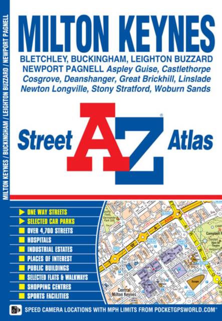
This A-Z map of Milton Keynes, Buckingham and Leighton Buzzard is a full colour street atlas featuring 25 pages of street mapping.-Milton Keynes coverage extends to Bletchley, Castlethorpe, Deanshanger, Kingston, Newport Pagnell, Newton Longville, Stony Stratford and Woburn Sands.-Leighton Buzzard coverage extends to Great Brickhill, Heath & Reach and Linslade.-Buckingham coverage extends to Maids Moreton and Mount Pleasant.There is an dedicated coloured road map of the Milton Keynes grid road system showing vertical and horizontal road numbers.Postcode districts, one-way streets and safety camera locations with their maximum speed limit are featured on the street mapping.The index section lists streets, selected flats, walkways and places of interest, place, area and station names, hospitals and hospices covered by this atlas.
Specificaties
Betrokkenen
- Auteur(s):
- Uitgeverij:
Inhoud
- Aantal bladzijden:
- 48
- Taal:
- Engels
Eigenschappen
- Productcode (EAN):
- 9781782570202
- Verschijningsdatum:
- 18/12/2013
- Uitvoering:
- Paperback
- Formaat:
- Trade paperback (VS)
- Afmetingen:
- 149 mm x 215 mm
- Gewicht:
- 86 g


Alleen bij Standaard Boekhandel
+ 16 punten op je klantenkaart van Standaard Boekhandel
Cadeau

AANGERADEN


Beoordelingen
We publiceren alleen reviews die voldoen aan de voorwaarden voor reviews. Bekijk onze voorwaarden voor reviews.