
- Afhalen na 1 uur in een winkel met voorraad
- In januari gratis thuislevering in België
- Ruim aanbod met 7 miljoen producten
- Afhalen na 1 uur in een winkel met voorraad
- In januari gratis thuislevering in België
- Ruim aanbod met 7 miljoen producten


Resultaten voor "A-Z maps"
-
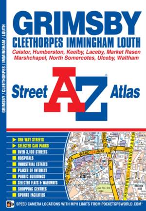
Grimsby A-Z Street Atlas
A-Z maps
- Paperback
- This A-Z map of Grimsby, Cleethorpes, Immingham and Louth is a full colour street atlas featuring 38 pages of street mapping to include: -Ulceby-Humbe... Lees meer
€ 6,95€ 6,95 -
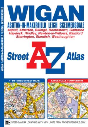
Wigan A-Z Street Atlas
A-Z maps
- Paperback
- This map of Wigan, Ashton-in-Makerfield, Leigh and Skelmersdale features 61 pages of coloured street mapping and includes a large scale town centre ma... Lees meer
€ 8,45€ 8,45 -
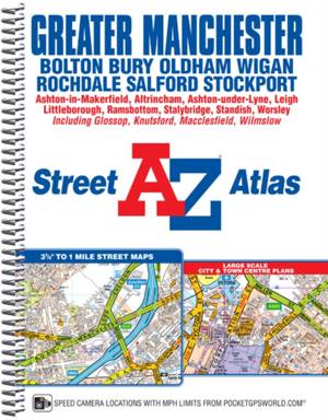
Greater Manchester A-Z Street Atlas
A-Z maps
- Met spiraalrug
- This A-Z map of Greater Manchester is a full colour, spiral bound street atlas featuring 122 pages of continuous street mapping which extends to inclu... Lees meer
€ 18,45€ 18,45 -
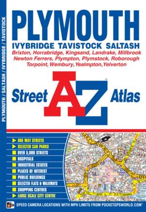
Plymouth A-Z Street Atlas
A-Z maps
- Paperback
- This A-Z map of Plymouth is a full coloured street atlas featuring 35 pages of street mapping which extends to include:*Roborough*Plymouth City Airpor... Lees meer
€ 6,95€ 6,95 -
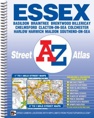
Essex A-Z Street Atlas (spiral)
A-Z maps
- Met spiraalrug
- This A-Z map of Essex is a full colour, spiral bound street atlas featuring complete countywide coverage in one volume. The atlas contains 224 pages o... Lees meer
€ 19,45€ 19,45 -

Merseyside A-Z Street Atlas
A-Z maps
- Met spiraalrug
- This A-Z map of Merseyside is a full colour, spiral bound street atlas featuring 110 pages of continuous street mapping. Lees meer
€ 18,45€ 18,45 -
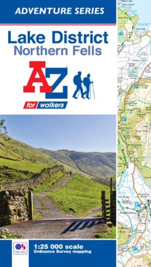
Lake District (Northern Fells) A-Z Adventure Atlas
A-Z maps
- Paperback
- The A-Z Adventure Series of maps combines the best of OS and A-Z, creating the perfect companion for walkers, off-road cyclists, horse riders and anyo... Lees meer
€ 12,95€ 12,95 -
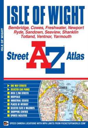
Isle of Wight A-Z Street Atlas
A-Z maps
- Paperback
- This A-Z Map of the Isle of Wight is a full colour, paperback featuring 56 pages of continuous street mapping covering the whole island. Postcode dist... Lees meer
€ 8,45€ 8,45 -
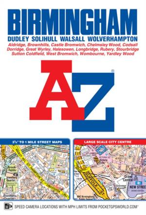
Birmingham A-Z Street Atlas (paperback)
A-Z maps
- Paperback
- This A-Z map of Birmingham is a full colour, paperback street atlas featuring 164 pages of continuous street mapping which extends to include; Great W... Lees meer
€ 9,95€ 9,95 -
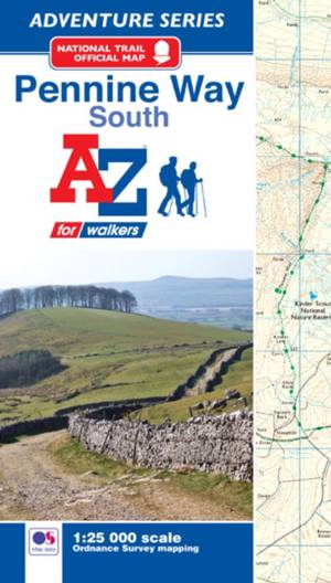
Pennine Way (South) A-Z Adventure Atlas
A-Z maps
- Paperback
- The A-Z Adventure series features the accuracy and quality of the 1:25000 OS mapping in a convenient book, complete with index. Lees meer
€ 12,95€ 12,95 -
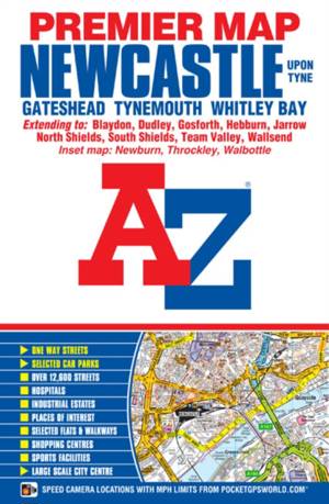
Newcastle Upon Tyne A-Z Premier Map
- Gevouwen kaart
- This A-Z map of Newcastle Upon Tyne is a full colour, single sided, foldout street map with a large scale city centre map of Newcastle Upon Tyne. Lees meer
€ 9,95€ 9,95 -
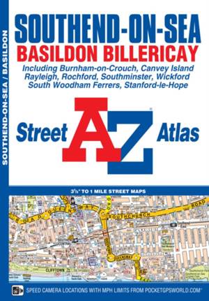
Southend-on-Sea A-Z Street Atlas
A-Z maps
- Paperback
- This A-Z map of Southend-on-Sea is a full colour street atlas featuring 38 pages of mapping and includes Postcode districts, one-way streets and safet... Lees meer
€ 8,45€ 8,45 -
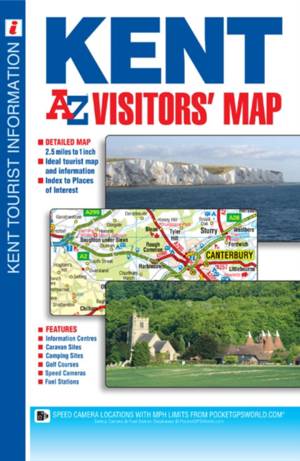
Kent A-Z Visitors' Map
- Gevouwen kaart
- This A-Z Visitors' Map of Kent is a full colour, single sided sheet map covering the whole of the county with coverage extending into East Sussex to L... Lees meer
€ 8,45€ 8,45 -
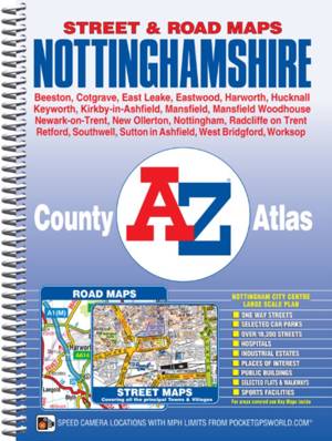
Nottinghamshire A-Z County Atlas
A-Z maps
- Met spiraalrug
- This county atlas of Nottinghamshire has 138 pages of street mapping that features all major towns and villages. Also included are 6 pages of road map... Lees meer
€ 12,95€ 12,95 -
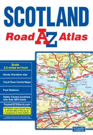
Scotland A-Z Road Atlas
A-Z maps
- Paperback
- This A-Z map of Scotland is a full colour regional road atlas featuring 92 pages of road mapping covering the whole of the country. Lees meer
€ 8,45€ 8,45 -
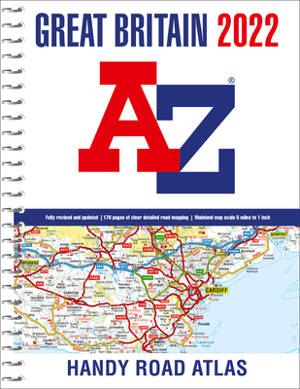
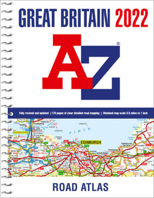
Great Britain A-Z Handy Road Atlas 2022 (A5 Spiral)
A-Z maps
- Met spiraalrug
- A compact A5-size full colour, spiral bound road atlas, now fully revised and updated. Clear detailed road mapping at a mainland map scale of 5 miles ... Lees meer
€ 9,95€ 9,95 -
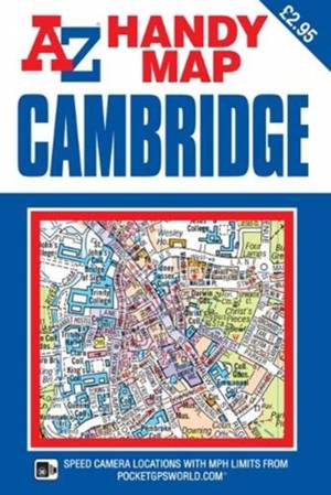
Cambridge A-Z Handy Map
- Gevouwen kaart
- This A-Z map of Cambridge is a self-covered, double-sided street map covering an area that extends to include:*Barnwell*Chesterton*Eddington*Girton (p... Lees meer
€ 4,45€ 4,45 -
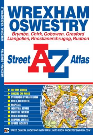
Wrexham A-Z Street Atlas
A-Z maps
- Paperback
- This A-Z map of Wrexham (Wrecsam) and Oswestry (Croesoswallt) is a full colour street atlas featuring 45 pages of continuous street mapping which exte... Lees meer
€ 6,95€ 6,95 -
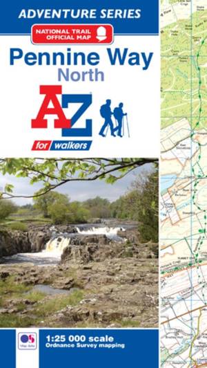
Pennine Way National Trail Official Map North
A-Z maps
- Paperback | A -Z Adventure Series
- The A-Z Adventure series features the accuracy and quality of the OS 1:25000 mapping in a convenient book, complete with index. Lees meer
€ 12,95€ 12,95 -
Great Britain A-Z Road Atlas 2022 (A4 Spiral)
A-Z maps
- Met spiraalrug
- An A4-size, spiral bound, full colour road atlas, now fully revised and updated. Clear detailed road mapping at a mainland map scale of 3.5 miles to 1... Lees meer
€ 18,45€ 18,45 -
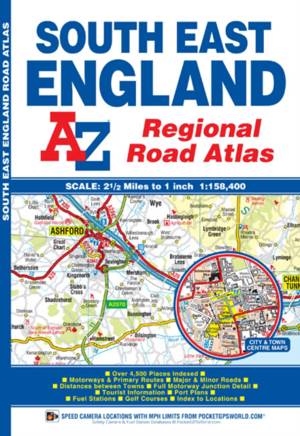
South East England Regional A-Z Road Atlas
A-Z maps
- Paperback
- This A-Z map of South East England is a full colour regional road atlas featuring 46 pages of continuous road mapping extending from Banbury and Felix... Lees meer
€ 8,45€ 8,45 -
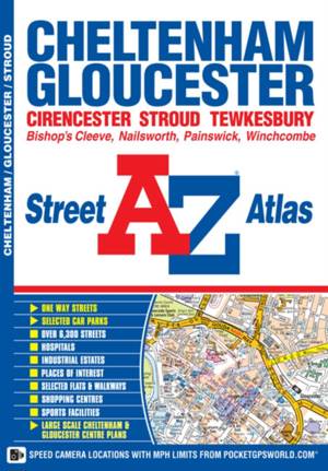
Cheltenham, Gloucester and Stroud A-Z Street Atlas
A-Z maps
- Paperback
- This A-Z map of Cheltenham and Gloucester is a full colour street atlas featuring 51 pages of street mapping which extends to include:*Tewkesbury*Winc... Lees meer
€ 7,95€ 7,95 -
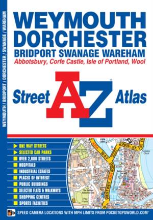
Weymouth and Dorchester A-Z Street Atlas
A-Z maps
- Paperback
- This A-Z map of Weymouth and Dorchester features 38 pages of coloured street mapping covering:*Bridport*Abbotsbury*Charminster*Broadmayne*Broadwey*Pre... Lees meer
€ 6,95€ 6,95 -
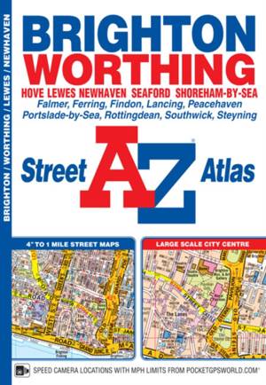
Brighton and Worthing A-Z Street Atlas
A-Z maps
- Paperback
- This atlas of Brighton, Worthing, Hove, Newhaven and Shoreham-by-Sea includes separate coverage of Lewes and Seaford. The 41 pages of coloured street ... Lees meer
€ 6,95€ 6,95