
- Afhalen na 1 uur in een winkel met voorraad
- Gratis thuislevering in België vanaf € 30
- Ruim aanbod met 7 miljoen producten
- Afhalen na 1 uur in een winkel met voorraad
- Gratis thuislevering in België vanaf € 30
- Ruim aanbod met 7 miljoen producten


Boeken geschreven door A-Z Maps

-
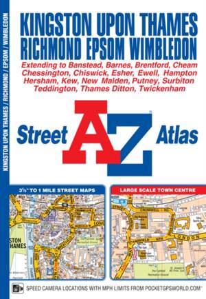
Kingston upon Thames and Richmond A-Z Street Atlas
A-Z Maps
- Paperback
- This A-Z map of Kingston upon Thames, Richmond, Epsom and Wimbledon is a full colour street atlas featuring 32 pages of continuous street mapping and ... Lees meer
€ 8,45€ 8,45 -
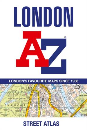
London A-Z Street Atlas
A-Z Maps
- Paperback | Engels
- First published in 1936, this iconic atlas is a trusted means of finding your way around the capital city. The main mapping extends beyond Central Lon... Lees meer
€ 12,95€ 12,95 -
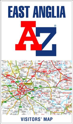
East Anglia A-Z Visitors’ Map
- Gevouwen kaart
- Explore the whole region of East Anglia extending from London to the North Sea coast. Ideal for touring around Norfolk and The Broads and also covers ... Lees meer
€ 10,45€ 10,45 -

Bristol and Bath A-Z Street Atlas
A-Z Maps
- Paperback | Engels
- Areas covered include: Avonmouth, Bradley Stoke, Filton, Keynsham, Kingswood, Mangotsfield, Portishead, Yate, Frampton Cotterell, Chipping Sodbury, Ol... Lees meer
€ 20,95€ 20,95 -
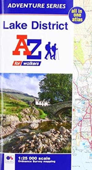
Lake District Adventure Atlas
A-Z Maps
- Paperback
- The A-Z Adventure Series of maps combines the best of OS and A-Z, creating the perfect companion for walkers, off-road cyclists, horse riders and anyo... Lees meer
€ 13,95€ 13,95 -
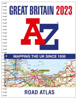
Great Britain A-Z Road Atlas 2023 (A4 Spiral)
A-Z Maps
- Met spiraalrug
- Find your way around Great Britain with this fully revised and updated road atlas. An A4-size, spiral bound, full colour road atlas, now fully revised... Lees meer
€ 18,45€ 18,45 -
Leeds A-Z Pocket Street Map
- Gevouwen kaart
- Navigate your way around Leeds with detailed street maps from A-Z Lees meer
€ 6,95€ 6,95 -
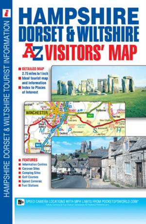
Hampshire, Dorset and Wiltshire A-Z Visitors' Map
- Gevouwen kaart
- This A-Z Visitors' Map of Hampshire, Dorset and Wiltshire is a full colour, single sided sheet map. Featuring continuous road mapping from Oxford and ... Lees meer
€ 8,45€ 8,45 -
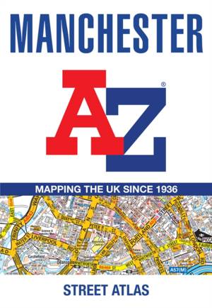
Manchester A-Z Street Atlas
A-Z Maps
- Paperback
- Navigate your way around Manchester with this detailed and easy-to-use A-Z Street Atlas. Lees meer
€ 12,95€ 12,95 -
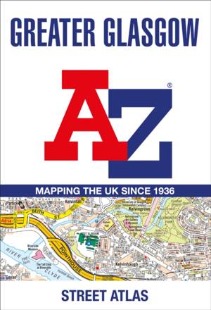
Greater Glasgow A-Z Street Atlas
A-Z Maps
- Paperback | Engels
- The main mapping extends well beyond central Glasgow at a scale of 3.33 inches to 1 mile, featuring postcode districts, one-way streets, park and ride... Lees meer
€ 23,95€ 23,95 -
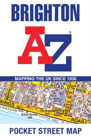
Brighton A-Z Pocket Street Map
- Gevouwen kaart | Engels
- This up-to-date, folded A-Z street map includes 2,600 streets in and around Brighton. As well as the seafront and Brighton Palace Pier, the other area... Lees meer
€ 5,95€ 5,95 -
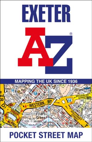
Exeter A-Z Pocket Street Map
- Gevouwen kaart
- Navigate your way around Exeter with detailed street maps from A-Z Lees meer
€ 5,95€ 5,95 -

A A-Z London Hidden Walks: Discover 20 Routes in and Around the City
A-Z Maps
- Paperback | Engels
- Discover hidden gems around London with 20 walking routes. Featuring 20 walks in and around the city, including lesser-known circuits and details on p... Lees meer
€ 9,95€ 9,95 -
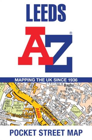
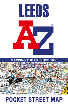
Leeds A-Z Pocket Street Map
- Gevouwen kaart | Engels
- This up-to-date detailed A-Z street map includes 4,555 streets in and around Leeds. As well as the University of Leeds, the other areas covered are Hy... Lees meer
€ 5,95€ 5,95 -
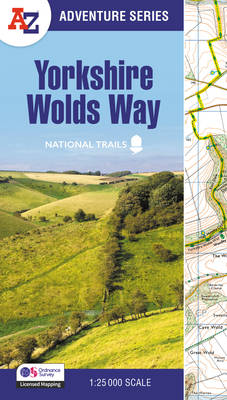
Yorkshire Wolds Way
A-Z Maps
- Paperback | A -Z Adventure Series
- The A-Z Adventure Series of maps combines the best of OS and A-Z, creating the perfect companion for walkers, off-road cyclists, horse riders and anyo... Lees meer
€ 16,95€ 16,95 -
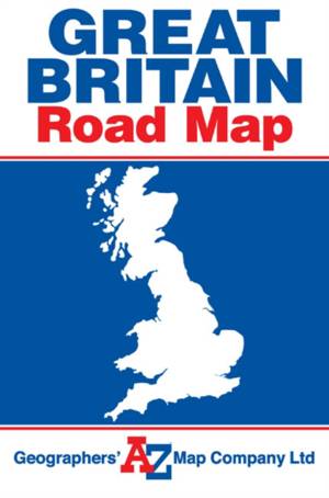
Great Britain A-Z-Road Map
- Gevouwen kaart
- A full-colour, single-sided, fold-out road map of Great Britain, featuring motorways, primary routes, 'A' Roads and a selection of other routes. Hill ... Lees meer
€ 8,45€ 8,45 -

A A-Z York Hidden Walks: Discover 20 Routes in and Around the City
A-Z Maps
- Paperback | Engels
- Discover hidden gems around York with 20 walking routes. Featuring 20 walks in and around the city, including lesser-known circuits and details on pop... Lees meer
€ 11,95€ 11,95 -
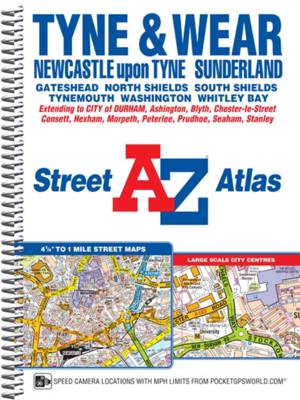
Tyne and Wear A-Z Street Atlas (spiral)
A-Z Maps
- Met spiraalrug
- This A-Z map of Tyne and Wear is a full colour, spiral bound street atlas featuring 180 pages of continuous street mapping covering:*Newcastle-upon-Ty... Lees meer
€ 18,45€ 18,45 -

A-Z Cambridge Hidden Walks
A-Z Maps
- Paperback | Engels
- Small enough to fit in a bag or pocket, this handy guidebook is ideal for tourists or locals looking to discover more about the city. Each route varie... Lees meer
€ 9,95€ 9,95 -
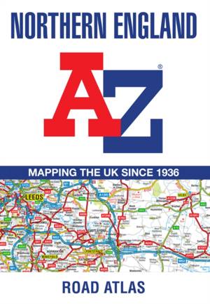
Northern England Regional A-Z Road Atlas
A-Z Maps
- Paperback | Engels
- Find your way around Northern England with this fully revised and updated road atlas. A full colour regional road atlas featuring 52 pages of road map... Lees meer
€ 11,45€ 11,45 -
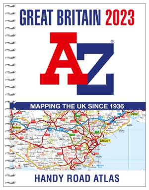
Great Britain A-Z Handy Road Atlas 2023 (A5 Spiral)
A-Z Maps
- Met spiraalrug
- The perfect compact road atlas to keep in your glove box. A compact A5-size full colour, spiral bound road atlas, now fully revised and updated. Clear... Lees meer
€ 12,95€ 12,95 -

Lake District Adventure Atlas
A-Z Maps
- Paperback | A -Z Adventure Series
- The A-Z Adventure Series of maps combines the best of OS and A-Z, creating the perfect companion for walkers, off-road cyclists, horse riders and anyo... Lees meer
€ 16,95€ 16,95 -
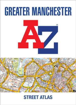
Greater Manchester A-Z Street Atlas
A-Z Maps
- Paperback
- Navigate your way around Manchester with this detailed and easy-to-use A-Z Street Atlas. Printed in full-colour, paperback format, this atlas contains... Lees meer
€ 25,45€ 25,45 -
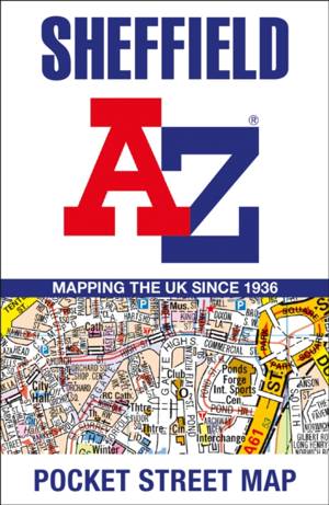
Sheffield A-Z Pocket Street Map
- Gevouwen kaart
- Navigate your way around Sheffield with detailed street maps from A-Z Lees meer
€ 5,95€ 5,95