- Afhalen na 1 uur in een winkel met voorraad
- Gratis thuislevering in België vanaf € 30
- Ruim aanbod met 7 miljoen producten
- Afhalen na 1 uur in een winkel met voorraad
- Gratis thuislevering in België vanaf € 30
- Ruim aanbod met 7 miljoen producten
Zoeken
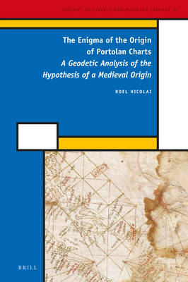
The Enigma of the Origin of Portolan Charts
A Geodetic Analysis of the Hypothesis of a Medieval Origin
Roel Nicolai
€ 349,95
+ 699 punten
Omschrijving
The sudden appearance of portolan charts, realistic nautical charts of the Mediterranean and Black Sea, at the end of the thirteenth century is one of the most significant occurrences in the history of cartography. Using geodetic and statistical analysis techniques these charts are shown to be mosaics of partial charts that are considerably more accurate than has been assumed. Their accuracy exceeds medieval mapping capabilities. These sub-charts show a remarkably good agreement with the Mercator map projection. It is demonstrated that this map projection can only have been an intentional feature of the charts' construction. Through geodetic analysis the author eliminates the possibility that the charts are original products of a medieval Mediterranean nautical culture, which until now they have been widely believed to be.
Specificaties
Betrokkenen
- Auteur(s):
- Uitgeverij:
Inhoud
- Aantal bladzijden:
- 570
- Taal:
- Engels
- Reeks:
- Reeksnummer:
- nr. 52
Eigenschappen
- Productcode (EAN):
- 9789004282971
- Verschijningsdatum:
- 19/05/2016
- Uitvoering:
- Hardcover
- Formaat:
- Genaaid
- Afmetingen:
- 155 mm x 231 mm
- Gewicht:
- 929 g

Alleen bij Standaard Boekhandel
+ 699 punten op je klantenkaart van Standaard Boekhandel
Beoordelingen
We publiceren alleen reviews die voldoen aan de voorwaarden voor reviews. Bekijk onze voorwaarden voor reviews.


