- Afhalen na 1 uur in een winkel met voorraad
- Gratis thuislevering in België vanaf € 30
- Ruim aanbod met 7 miljoen producten
- Afhalen na 1 uur in een winkel met voorraad
- Gratis thuislevering in België vanaf € 30
- Ruim aanbod met 7 miljoen producten
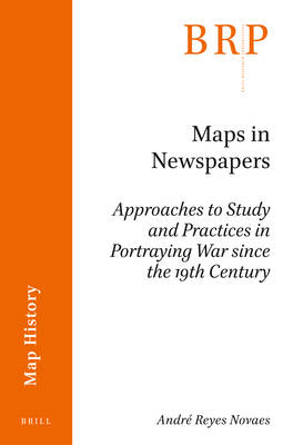
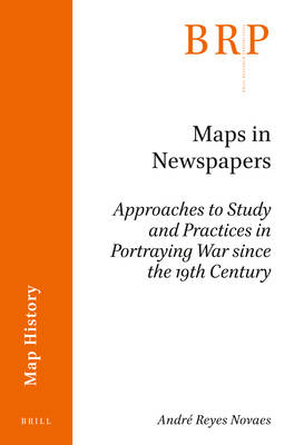
Maps in Newspapers
Approaches of Study and Practices in Portraying War Since 19th Century
André Reyes Novaes
€ 143,45
+ 286 punten
Omschrijving
Maps in newspapers generated many discussions among cartographers and geographers working from different approaches and theoretical backgrounds. This work examines these maps from a historiographical as well as a historical perspective. It considers three main questions, namely how maps in the press should be conceptualized, how cartographic images in newspapers have been studied, and how these images changed over time. In order to provide a perspective on the origins, development, and impact of war maps in the press, we will explore maps representing three geopolitical conflicts for Brazilian audiences: The War of the Triple Alliance (1864-1870), the World War II (1939-1945) and the War on Drugs in Rio de Janeiro's favelas (1994-2010). By exploring maps on these wars, we will identify specific cartographic practices used in this genre as well as the connections that this mode has with other types of map production and consumption.
Specificaties
Betrokkenen
- Auteur(s):
- Uitgeverij:
Inhoud
- Aantal bladzijden:
- 124
- Taal:
- Engels
- Reeks:
Eigenschappen
- Productcode (EAN):
- 9789004398825
- Verschijningsdatum:
- 16/05/2019
- Uitvoering:
- Paperback
- Formaat:
- Trade paperback (VS)
- Afmetingen:
- 150 mm x 231 mm
- Gewicht:
- 181 g

Alleen bij Standaard Boekhandel
+ 286 punten op je klantenkaart van Standaard Boekhandel
Beoordelingen
We publiceren alleen reviews die voldoen aan de voorwaarden voor reviews. Bekijk onze voorwaarden voor reviews.


