
- Afhalen na 1 uur in een winkel met voorraad
- Gratis thuislevering in België vanaf € 30
- Ruim aanbod met 7 miljoen producten
- Afhalen na 1 uur in een winkel met voorraad
- Gratis thuislevering in België vanaf € 30
- Ruim aanbod met 7 miljoen producten


€ 151,95
+ 303 punten
Omschrijving
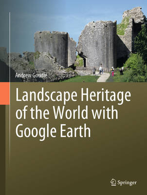
The rationale of this book is to provide carefully selected images from Google Earth, to discuss what they show, and to provide references to the heritage sites portrayed so that readers can go deeper if they wish. Taking examples from all over the world, this book aims to demonstrate their value for understanding heritage landscapes and for appreciating their aesthetics. It is organised around different types of landscape and the processes that created them, rather than regionally or on the basis of age. It includes a large number of archaeological sites that have been designated as UNESC0 World Heritage Sites. Google Earth has proved to be important for demonstrating some of the threats that major sites have been exposed to, including during recent wars in the Middle East. The landscapes discussed are those of Water Management, Agricultural Management, War, Burial, Mines, Quarries and Salterns, Cities and Settlements, Tells, Theatres, Amphitheatres, and Hippodromes, Churches, Temples, Pagodas, and Mosques, and Geoglyphs.
Specificaties
Betrokkenen
- Auteur(s):
- Uitgeverij:
Inhoud
- Aantal bladzijden:
- 193
- Taal:
- Engels
Eigenschappen
- Productcode (EAN):
- 9783031955549
- Verschijningsdatum:
- 27/09/2025
- Uitvoering:
- Hardcover
- Formaat:
- Genaaid
- Afmetingen:
- 216 mm x 283 mm
- Gewicht:
- 811 g


Alleen bij Standaard Boekhandel
+ 303 punten op je klantenkaart van Standaard Boekhandel
Cadeau

AANGERADEN


Beoordelingen
We publiceren alleen reviews die voldoen aan de voorwaarden voor reviews. Bekijk onze voorwaarden voor reviews.