
- Afhalen na 1 uur in een winkel met voorraad
- Gratis thuislevering in België vanaf € 30
- Ruim aanbod met 7 miljoen producten
- Afhalen na 1 uur in een winkel met voorraad
- Gratis thuislevering in België vanaf € 30
- Ruim aanbod met 7 miljoen producten


Reeksen: boeken uit de reeks Remote Sensing Applications

-
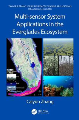
Multi-sensor System Applications in the Everglades Ecosystem
Caiyun Zhang
- Hardcover | Engels | Remote Sensing Applications
- This book introduces multiple remote sensing systems, advanced data processing techniques, and applications of multiple remote sensing systems in wetl... Lees meer
€ 305,45€ 305,45 -
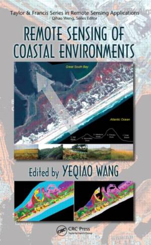
Remote Sensing of Coastal Environments
- Hardcover | Engels | Remote Sensing Applications
- Edited by a PECASE award recipient, this book provides unrivaled coverage of the issues unique to coastal environments. It presents the best available... Lees meer
€ 442,95€ 442,95 -
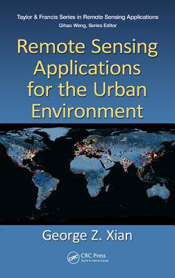
Remote Sensing Applications for the Urban Environment
George Z Xian
- Hardcover | Engels | Remote Sensing Applications
- As more natural lands are transformed into urban lands with more people in urban areas, it is important to understand how these environmental changes ... Lees meer
€ 228,95€ 228,95 -
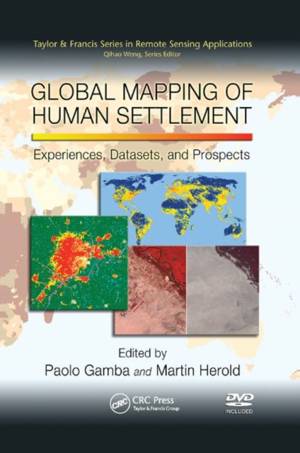
Global Mapping of Human Settlement
- Paperback | Engels | Remote Sensing Applications
- The use of remote sensors for human settlement mapping and monitoring holds great promise for numerous fields of study, including urban planning and g... Lees meer
€ 76,95€ 76,95 -

Advances in Environmental Remote Sensing
- Paperback | Engels | Remote Sensing Applications
- Generating a satisfactory classification image from remote sensing data is not a straightforward task. Many factors contribute to this difficulty incl... Lees meer
€ 184,95€ 184,95 -

Remote Sensing of Coastal Environments
- Paperback | Engels | Remote Sensing Applications
- Edited by a PECASE award recipient, this book provides unrivaled coverage of the issues unique to coastal environments. It presents the best available... Lees meer
€ 161,95€ 161,95 -

LiDAR Remote Sensing and Applications
Pinliang Dong, Qi Chen
- Hardcover | Engels | Remote Sensing Applications
- Ideal for both undergraduate and graduate students in the fields of geography, forestry, ecology, geographic information science, remote sensing, and ... Lees meer
€ 358,95€ 358,95 -
Remote Sensing of Protected Lands
- Paperback | Engels | Remote Sensing Applications
- National parks, wildlife refuges and sanctuaries, natural reserves, conservation areas, frontier lands, and marine-protected areas are increasingly re... Lees meer
€ 144,95€ 144,95 -

Advances in Environmental Remote Sensing
- Hardcover | Engels | Remote Sensing Applications | nr. 7
- Generating a satisfactory classification image from remote sensing data is not a straightforward task. Many factors contribute to this difficulty incl... Lees meer
€ 442,95€ 442,95 -
Hyperspectral Remote Sensing
Marcus Borengasser, William S Hungate, Russell Watkins
- Paperback | Engels | Remote Sensing Applications
- Land management issues, such as mapping tree species, recognizing invasive plants, and identifying key geologic features, require an understanding of ... Lees meer
€ 160,45€ 160,45 -
Remote Sensing of Impervious Surfaces
- Paperback | Engels | Remote Sensing Applications
- Remote sensing of impervious surfaces has matured using advances in geospatial technology so recent that its applications have received only sporadic ... Lees meer
€ 105,45€ 105,45 -
Remote Sensing of Impervious Surfaces in Tropical and Subtropical Areas
Hongsheng Zhang, Hui Lin, Yuanzhi Zhang, Qihao Weng
- Hardcover | Engels | Remote Sensing Applications
- Remote Sensing of Impervious Surfaces in Tropical and Subtropical Areas offers a complete and thorough system for using optical and synthetic aperture... Lees meer
€ 274,95€ 274,95 -
LiDAR Remote Sensing and Applications
Pinliang Dong, Qi Chen
- Paperback | Engels | Remote Sensing Applications
- This book introduces the fundamentals of LiDAR (Light Ranging and Detection) remote sensing, LiDAR data processing and analysis methods and applicatio... Lees meer
€ 132,45€ 132,45 -
Remote Sensing of Global Croplands for Food Security
- Hardcover | Engels | Remote Sensing Applications
- Increases in populations have created an increasing demand for food crops while increases in demand for biofuels have created an increase in demand fo... Lees meer
€ 283,95€ 283,95 -
Remote Sensing for Sustainability
- Hardcover | Engels | Remote Sensing Applications
- Driven by the societal needs and improvement in sensor technology and image processing techniques, remote sensing has become an essential geospatial t... Lees meer
€ 277,45€ 277,45 -
Remote Sensing of Impervious Surfaces
- Hardcover | Engels | Remote Sensing Applications
- Remote sensing of impervious surfaces has matured using advances in geospatial technology so recent that its applications have received only sporadic ... Lees meer
€ 250,45€ 250,45
16 van 16 resultaten getoond