
- Afhalen na 1 uur in een winkel met voorraad
- Gratis thuislevering in België vanaf € 30
- Ruim aanbod met 7 miljoen producten
- Afhalen na 1 uur in een winkel met voorraad
- Gratis thuislevering in België vanaf € 30
- Ruim aanbod met 7 miljoen producten


Resultaten voor "Ordnance Survey"
-
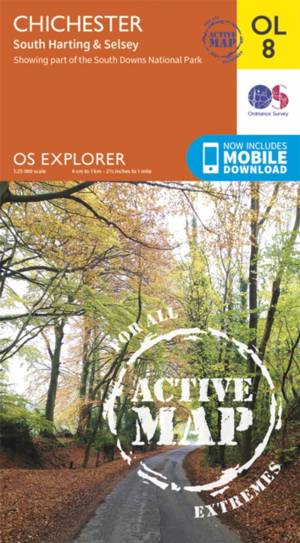
Chichester South Harting area
- Gevouwen kaart | Engels
- OS Explorer map sheet OL 8 covers Chichester, South Harting, Selsey, Emsworth, Havant, Horndean, Midhurst and Wittering. Highlights of the area includ... Lees meer
€ 24,50Levering 1 à 2 weken€ 24,50Levering 1 à 2 weken -

Birmingham / Walsall / Solihull / Redditch
- Gevouwen kaart | Engels
- Map sheet number 220 in the OS Explorer series covers the area in the Midlands around Birmingham and Solihull. Covering from Walsall and the Forest of... Lees meer
€ 24,50Levering 1 à 2 weken€ 24,50Levering 1 à 2 weken -

Stroud / Tetbury / Malmesbury
- Gevouwen kaart | Engels
- Map sheet number 168 in the OS Explorer series covers Stroud, Tetbury, Malmesbury, and Nailsworth. Highlights of the area include: Cotswolds AONB, Cot... Lees meer
€ 18,50Levering 1 à 2 weken€ 18,50Levering 1 à 2 weken -
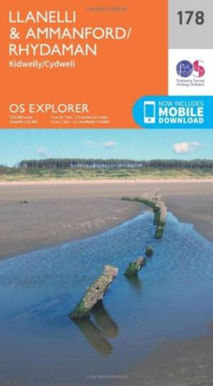
Llanelli / Ammanford / Rhydaman
- Gevouwen kaart | Engels
- Map sheet number 178 covers Llanelli, Ammanford and Kidwelly. Highlights include Brecon Beacons National Park. Also includes Lliedi Resr, Gorseinon, B... Lees meer
€ 18,50Levering 1 à 2 weken€ 18,50Levering 1 à 2 weken -
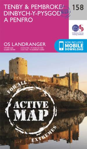
Tenby / Pembroke
- Gevouwen kaart | Engels
- This OS Landranger map 158 of Tenby & Pembroke also includes Kilgetty, Freystrop, Yerbeston, Milford Haven, Wolfsdale, Llandissilio, the Pembrokeshire... Lees meer
€ 24,50Levering 1 à 2 weken€ 24,50Levering 1 à 2 weken -
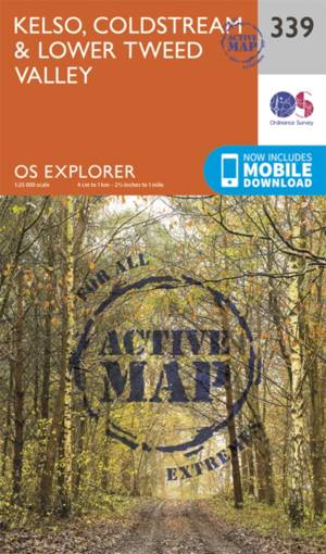
Kelso / Coldstream / lower Tweed Valley
- Gevouwen kaart | Engels
- Kelso, Coldstream & lower Tweed Valley active exp gepl. Lees meer
€ 24,50Levering 1 à 2 weken€ 24,50Levering 1 à 2 weken -
Elgin / Dufftown
- Gevouwen kaart | Engels
- OS Landranger map 28 covers the area of Spey Bay on the Moray firth, including Elgin, Buckie, Dufftown, Burghhead, Keith, Charlestown of Aberlour and ... Lees meer
€ 24,50Levering 1 à 2 weken€ 24,50Levering 1 à 2 weken -
East Kilbride / Galston / Darvel
- Gevouwen kaart | Engels
- East Kilbride, Galston & Darvel active exp gepl. Lees meer
€ 24,50Levering 1 à 2 weken€ 24,50Levering 1 à 2 weken -
Bury St Edmunds / Stowmarket
- Gevouwen kaart | Engels
- This two-sided map shows Bury St Edmunds to Debenham, including Stowmarket. Lees meer
€ 24,50Levering 1 à 2 weken€ 24,50Levering 1 à 2 weken -
Lanark / Upper Nithsdale
- Gevouwen kaart | Engels
- OS Landranger map 71 covers the Upper Nithsdale, the Tinto Hills and the towns of Lanark, Cumnock, Darvel and Kirkconnel. Lees meer
€ 18,50Levering 1 à 2 weken€ 18,50Levering 1 à 2 weken -

Scunthorpe / Gainsborough
- Gevouwen kaart | Engels
- The Landranger map is an all purpose map packed full of information to help you really get to know an area. Each map covers an area of 40 km by 40 km ... Lees meer
€ 24,50Levering 1 à 2 weken€ 24,50Levering 1 à 2 weken -
Gower / Gwyr
- Gevouwen kaart | Engels
- Map sheet number 164 in the OS Explorer series covers the Gower Area of Outstanding Natural Beauty in South Wales. The Gower Way and St Illtyd's Way a... Lees meer
€ 24,50Levering 1 à 2 weken€ 24,50Levering 1 à 2 weken -
Ben Alder / Loch Ericht / Laggan
- Gevouwen kaart | Engels
- OS Explorer map OL 50 shows Loch Ericht, Loch Laggan and 16 of the surrounding Munros, as well as part of the Cairngorms National Park. This map repla... Lees meer
€ 18,50Levering 1 à 2 weken€ 18,50Levering 1 à 2 weken -
Bodmin Moor / Bodmin / Camelford
- Gevouwen kaart | Engels
- Taking in the towns of Liskeard, Bodmin and Camelford this map provides coverage of Bodmin Moor as well as a section of the National Trail the South W... Lees meer
€ 24,50Levering 1 à 2 weken€ 24,50Levering 1 à 2 weken -

St-Andrews
- Gevouwen kaart | Engels
- OS Landranger map 59 shows St Andrews, Kirkcaldy and Glenrothes between the Firth of Forth and the Firth of Tay. Lees meer
€ 24,50Levering 1 à 2 weken€ 24,50Levering 1 à 2 weken -
Exeter / Sidmouth / Exmouth
- Gevouwen kaart | Engels
- Map sheet number 192 in the OS Landranger map series is the ideal map for planning days out and holidays to Exeter and Sidmouth. Explore the east of D... Lees meer
€ 24,50Levering 1 à 2 weken€ 24,50Levering 1 à 2 weken -
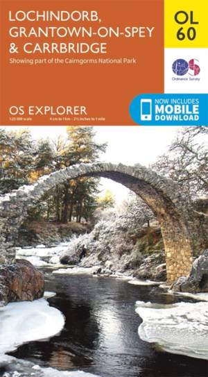
Lochindorb / Grantown-on-Spey
- Gevouwen kaart | Engels
- Showing the north-western area of Cairngorms National Park, plus Strathdearn and the River Findhorn, OS Explorer map OL 60 is the perfect companies fo... Lees meer
€ 18,50Levering 1 à 2 weken€ 18,50Levering 1 à 2 weken -
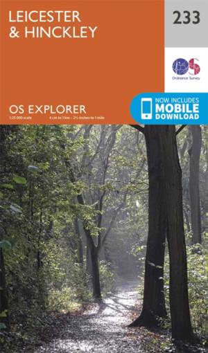
Leicester / Hinckley
- Gevouwen kaart | Engels
- OS Explorer Map 233 covers Hinckley, Leicester and the surrounding towns and villages. Lees meer
€ 18,50Levering 1 à 2 weken€ 18,50Levering 1 à 2 weken -
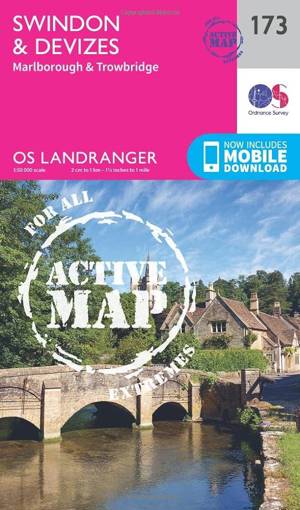
Swindon / Devizes / Marlborough
- Gevouwen kaart | Engels
- Map sheet number 173 in the OS Landranger map series covers the edge of the Cotswold Hills and the Vale of Pewsey. Lees meer
€ 24,50Levering 1 à 2 weken€ 24,50Levering 1 à 2 weken -
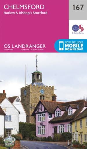
Chelmsford / Harlow
- Gevouwen kaart | Engels
- Chelmsford is an accessible city in the heart of Essex. It has a bustling centre with plenty of shopping and dining facilities. Lees meer
€ 18,50Levering 1 à 2 weken€ 18,50Levering 1 à 2 weken -
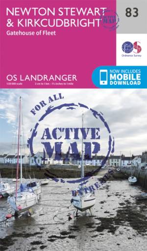
Newton Stewart / Kirkcudbright
- Gevouwen kaart | Engels
- Newton Stewart sits at the geographical centre of the rolling Galloway Hills and Forest Park, and is shown on OS Landranger map 83. Lees meer
€ 24,50Levering 1 à 2 weken€ 24,50Levering 1 à 2 weken -

Oxford / Chipping Norton / Bicester
- Gevouwen kaart | Engels
- Oxford provides for a cultural getaway due to it's world renowned university colleges, rich history and family days out. OS Landranger map 164 covers ... Lees meer
€ 18,50Levering 1 à 2 weken€ 18,50Levering 1 à 2 weken -
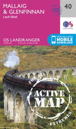
Mallaig / Glenfinnan
- Gevouwen kaart | Engels
- The port of Mallaig is set along the famous Road to the Isles and is a great base to explore the Highlands and Loch Morar from. Set on the banks of Lo... Lees meer
€ 24,50Levering 1 à 2 weken€ 24,50Levering 1 à 2 weken -

Cerne Abbas / Bere Regs
- Gevouwen kaart | Engels
- Taking in Bere Regis, Blanford Forum, Cerne Abbas and Beaminster this map provides coverage of some of Dorset classed as an Area of Outstanding Natura... Lees meer
€ 18,50Levering 1 à 2 weken€ 18,50Levering 1 à 2 weken