


- Afhalen na 1 uur in een winkel met voorraad
- Gratis thuislevering in België vanaf € 30
- Ruim aanbod met 7 miljoen producten
- Afhalen na 1 uur in een winkel met voorraad
- Gratis thuislevering in België vanaf € 30
- Ruim aanbod met 7 miljoen producten





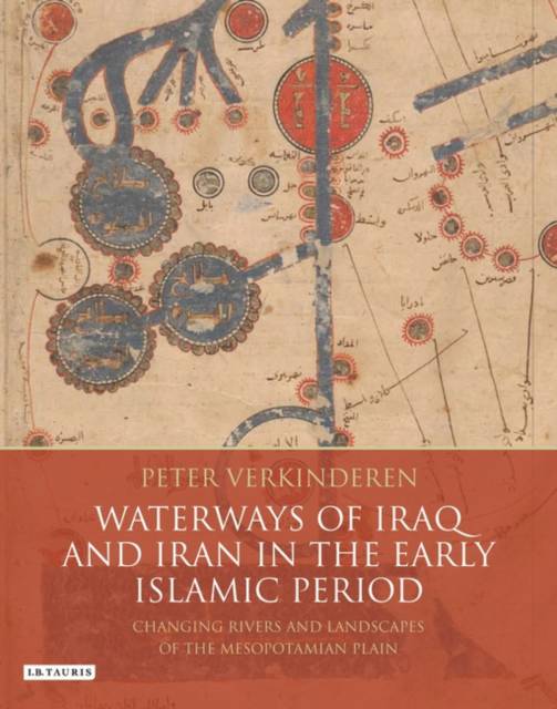
Waterways of Iraq and Iran in the Early Islamic Period
Changing Rivers and Landscapes of the Mesopotamian Plain
Peter Verkinderen
€ 322,45
+ 644 punten
Omschrijving
The waterways of ancient Iraq were crucial to its prosperity. While they were maintained, Iraq and neighbouring Khuzistan, in southwest Iran, were the richest and most productive agricultural areas of the Middle East, supporting the Sasanian, Umayyad and Abbasid empires. When the waterways changed or fell into decay, both the prosperity and the political role of Iraq largely disappeared. Understanding the course of the rivers and how they changed is therefore pivotal to understanding the history of the region. Peter Verkinderen's important book provides the first major re-examination of the waterways of early Islamic Iraq in almost seventy years. Combining a close reading of early Arab geographical and historical sources with analysis of modern satellite imagery, the author reconstructs the course of each of the major rivers--the Euphrates, Tigris, Karun, Jarrahi and Karhe-- from the 7th to the 12th centuries, showing how they changed over the intervening five hundred years. His extensive use of detailed narrative accounts found in Arab historical sources has never previously been undertaken and the use of remote sensing has allowed the author to link traces of ancient river beds and canal systems to the rivers and canals mentioned in the early Arab sources. Presenting a much fuller and more accurate picture than has previously been possible, Waterways of Iraq is a work of the first importance, unlikely to be superseded for many years to come.
Specificaties
Betrokkenen
- Auteur(s):
- Uitgeverij:
Inhoud
- Aantal bladzijden:
- 392
- Taal:
- Engels
- Reeks:
Eigenschappen
- Productcode (EAN):
- 9781780764719
- Verschijningsdatum:
- 30/11/2015
- Uitvoering:
- Hardcover
- Formaat:
- Genaaid
- Afmetingen:
- 190 mm x 246 mm
- Gewicht:
- 952 g


Alleen bij Standaard Boekhandel
+ 644 punten op je klantenkaart van Standaard Boekhandel
Cadeau

AANGERADEN


Beoordelingen
We publiceren alleen reviews die voldoen aan de voorwaarden voor reviews. Bekijk onze voorwaarden voor reviews.