- Afhalen na 1 uur in een winkel met voorraad
- Gratis thuislevering in België vanaf € 30
- Ruim aanbod met 7 miljoen producten
- Afhalen na 1 uur in een winkel met voorraad
- Gratis thuislevering in België vanaf € 30
- Ruim aanbod met 7 miljoen producten
Zoeken
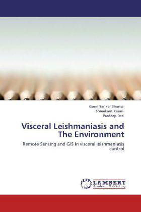
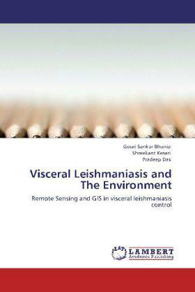
Visceral Leishmaniasis and The Environment
Remote Sensing and GIS in visceral leishmaniasis control
Gouri Sankar Bhunia, Shreekant Kesari, Pradeep Das
Paperback | Engels
€ 77,45
+ 154 punten
Omschrijving
Visceral leishmaniasis or kala-azar remains a major cause of mortality, particularly in the developing world. Remote sensing (RS) and GIS has a role to play in the detection and identification of areas of elevated risk, or associations between disease incidence and social and environmental factors. The work presented in this book inevitably represents only a partial picture of the reciprocal application of RS and GIS capabilities to control visceral leishmaniasis that threaten the global community, with emphasis given to the countries within the India.
Specificaties
Betrokkenen
- Auteur(s):
- Uitgeverij:
Inhoud
- Aantal bladzijden:
- 148
- Taal:
- Engels
Eigenschappen
- Productcode (EAN):
- 9783848406012
- Verschijningsdatum:
- 27/04/2012
- Uitvoering:
- Paperback
- Afmetingen:
- 152 mm x 220 mm
- Gewicht:
- 227 g

Alleen bij Standaard Boekhandel
+ 154 punten op je klantenkaart van Standaard Boekhandel
Beoordelingen
We publiceren alleen reviews die voldoen aan de voorwaarden voor reviews. Bekijk onze voorwaarden voor reviews.


