- Afhalen na 1 uur in een winkel met voorraad
- Gratis thuislevering in België vanaf € 30
- Ruim aanbod met 7 miljoen producten
- Afhalen na 1 uur in een winkel met voorraad
- Gratis thuislevering in België vanaf € 30
- Ruim aanbod met 7 miljoen producten
Zoeken
Omschrijving
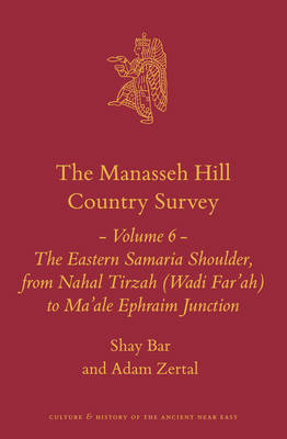
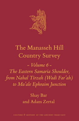
The book presents the results of a complete detailed archaeological survey of parts of Eastern Samaria. It is Volume 6 of the Manasseh Hill Country Survey series of publications. This territory is one of the most important in the country from the archaeological, Biblical and other points of view, and the survey is a valuable tool for scholars of the Bible, archaeology, Near Eastern history and other aspects of the Holy Land.
Specificaties
Betrokkenen
- Auteur(s):
- Uitgeverij:
Inhoud
- Aantal bladzijden:
- 508
- Taal:
- Engels
- Reeks:
- Reeksnummer:
- nr. 21
Eigenschappen
- Productcode (EAN):
- 9789004463226
- Verschijningsdatum:
- 25/03/2021
- Uitvoering:
- Hardcover
- Formaat:
- Genaaid
- Afmetingen:
- 158 mm x 236 mm
- Gewicht:
- 839 g

Alleen bij Standaard Boekhandel
+ 386 punten op je klantenkaart van Standaard Boekhandel
Beoordelingen
We publiceren alleen reviews die voldoen aan de voorwaarden voor reviews. Bekijk onze voorwaarden voor reviews.


