
- Afhalen na 1 uur in een winkel met voorraad
- In januari gratis thuislevering in België
- Ruim aanbod met 7 miljoen producten
- Afhalen na 1 uur in een winkel met voorraad
- In januari gratis thuislevering in België
- Ruim aanbod met 7 miljoen producten


€ 34,95
+ 69 punten
Omschrijving
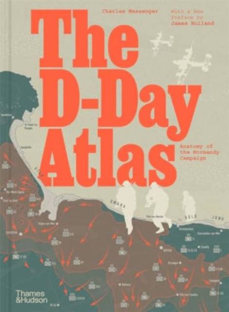
A vivid re-creation of the D-Day invasion and its aftermath, told through detailed maps, authoritative text by a noted military historian and contemporary photographs.
This powerful study chronicles the evolution of the invasion plan and culminates in a day-by-day account of the landings by sea and by air on the Normandy beaches, followed by the grim six-week struggle to break through the German defences. An important feature is the space devoted to the German point of view, based on the latest archival research, and the organization of the French Resistance in northern and western France.
At the heart of the book are 71 maps in full colour, many drawing in detail on those used by the Allies in 1944. Specially commissioned reconstruction drawings and contemporary photographs help bring the beaches and bocage of Normandy to life.
Specificaties
Betrokkenen
- Auteur(s):
- Uitgeverij:
Inhoud
- Aantal bladzijden:
- 176
- Taal:
- Engels
Eigenschappen
- Productcode (EAN):
- 9780500297643
- Verschijningsdatum:
- 16/05/2024
- Uitvoering:
- Hardcover
- Afmetingen:
- 216 mm x 292 mm
- Gewicht:
- 1040 g


Alleen bij Standaard Boekhandel
+ 69 punten op je klantenkaart van Standaard Boekhandel
Cadeau

AANGERADEN


Beoordelingen
We publiceren alleen reviews die voldoen aan de voorwaarden voor reviews. Bekijk onze voorwaarden voor reviews.