
- Afhalen na 1 uur in een winkel met voorraad
- Gratis thuislevering in België vanaf € 30
- Ruim aanbod met 7 miljoen producten
- Afhalen na 1 uur in een winkel met voorraad
- Gratis thuislevering in België vanaf € 30
- Ruim aanbod met 7 miljoen producten


Omschrijving
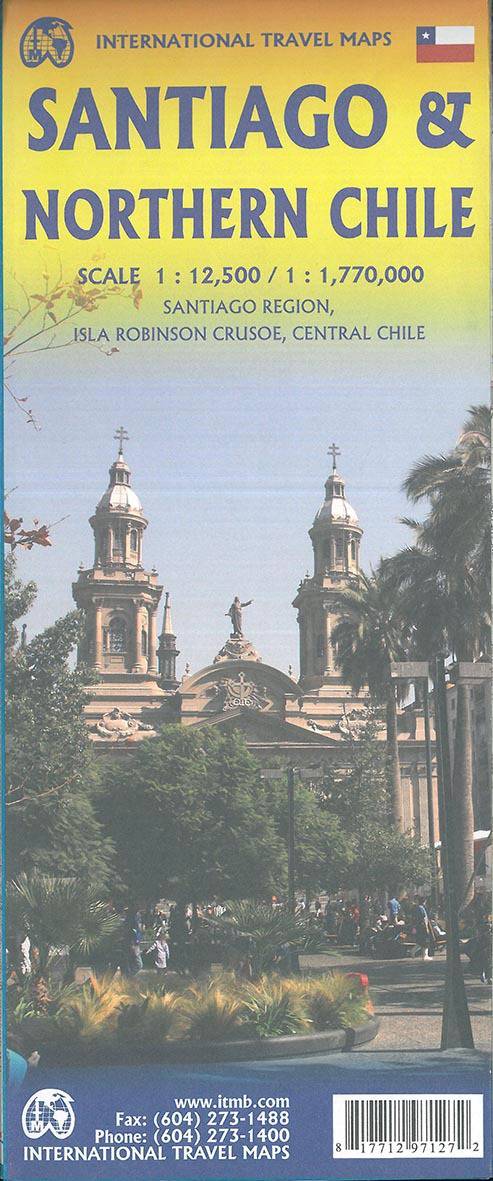
Stadsplan Santiago - Wegenkaart Chili Noord
Santiago and Chile’s Northern zone on a double-sided map presenting on one side a very clear street plan of the capital and on the reverse a road map of the country’s Northern zone.
The street plans covers the city’s central districts, extending west beyond the railway station and the nearby bus terminals, the university campus and Parque Quinta Normal with its several museums. In the north the plan goes beyond the gondola stations in the Parque Metropolitano and in the south the plan includes Parque O’Higgins and the national stadium.
Metro lines and stations, including planned extensions, are very clearly marked and named. One way streets are indicated and the plan also very clearly shows the interchanges onto the expressways. Symbols highlight locations of selected hotels, embassies, cultural institutions and other places of interest, and separate diagram of the metro network.
On the reverse is a road map of Chile central zone. The map extends north just beyond Combarbala, so includes the road connection with Argentina south of Aconcagua, and south beyond Los Angeles, covering most of Chile’s wine regions and the recreational area around Volcano Chillán. Topography is shown by altitude colouring and national parks or other protected areas are highlighted. Road network gives driving distances on main routes and railway lines are included. Various places of interest are highlighted, some annotated with brief notes.
Specificaties
Betrokkenen
- Auteur(s):
- Uitgeverij:
Inhoud
- Taal:
- Engels
Eigenschappen
- Productcode (EAN):
- 9781771297127
- Verschijningsdatum:
- 15/05/2019
- Eerder verschenen als:
- Uitvoering:
- Gevouwen kaart
- Afmetingen:
- 10 cm x 25 cm
- Gewicht:
- 53 g


Alleen bij Standaard Boekhandel
+ 23 punten op je klantenkaart van Standaard Boekhandel
AANGERADEN


Beoordelingen
We publiceren alleen reviews die voldoen aan de voorwaarden voor reviews. Bekijk onze voorwaarden voor reviews.