
- Afhalen na 1 uur in een winkel met voorraad
- In januari gratis thuislevering in België
- Ruim aanbod met 7 miljoen producten
- Afhalen na 1 uur in een winkel met voorraad
- In januari gratis thuislevering in België
- Ruim aanbod met 7 miljoen producten


€ 22,45
+ 44 punten
Omschrijving
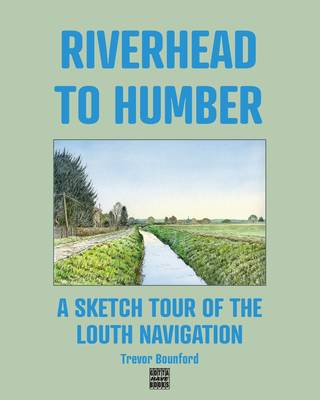
A collection of line and wash, and gouache, illustrations of views along the Louth Navigation, with historic mapping and brief descriptions.
Opened in 1770 as a commercial route linking inland Louth with the Humber Estuary and from there with other ports along inland waterways and with coastal routes and beyond, the Louth Navigation now serves as a leisure route for canoeists, sailboarders and for walkers. The eleven miles or so of towpath through open countryside affords glorious views to the Linconshire Wolds and across the marshes to the 'German Ocean' (now North Sea).
The seventeen images in this book, with supporting commentary, illustrate key aspects of the Louth Navigation.
Specificaties
Betrokkenen
- Auteur(s):
- Uitgeverij:
Inhoud
- Aantal bladzijden:
- 42
- Taal:
- Engels
Eigenschappen
- Productcode (EAN):
- 9780993378195
- Verschijningsdatum:
- 20/11/2025
- Uitvoering:
- Paperback
- Formaat:
- Trade paperback (VS)
- Afmetingen:
- 203 mm x 254 mm
- Gewicht:
- 136 g


Alleen bij Standaard Boekhandel
+ 44 punten op je klantenkaart van Standaard Boekhandel
Cadeau

AANGERADEN


Beoordelingen
We publiceren alleen reviews die voldoen aan de voorwaarden voor reviews. Bekijk onze voorwaarden voor reviews.