Bedankt voor het vertrouwen het afgelopen jaar! Om jou te bedanken bieden we GRATIS verzending (in België) aan op alles gedurende de hele maand januari.
- Afhalen na 1 uur in een winkel met voorraad
- In januari gratis thuislevering in België
- Ruim aanbod met 7 miljoen producten
Bedankt voor het vertrouwen het afgelopen jaar! Om jou te bedanken bieden we GRATIS verzending (in België) aan op alles gedurende de hele maand januari.
- Afhalen na 1 uur in een winkel met voorraad
- In januari gratis thuislevering in België
- Ruim aanbod met 7 miljoen producten
Zoeken
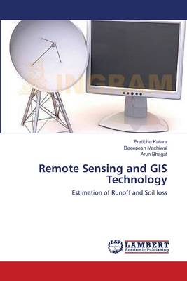
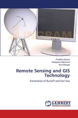
Remote Sensing and GIS Technology
Estimation of Runoff and Soil loss
Pratibha Katara, Deeepesh Machiwal, Arun Bhagat
Paperback | Engels
€ 63,45
+ 126 punten
Omschrijving
The study aimed at estimating runoff and sediment yield by using remote sensing and GIS techniques in catchment. Thematic layers of soil, topographic elevation, slope, land use/land cover (LULC) were generated in GIS platform by using existing soil map, SRTM DEM, and IRS-P4 satellite imagery. The GIS-based soil map was used to develop hydrologic soil group (HSG) map of the study area. HSG and LULC maps were used to generate curve number (CN) map in the GIS environment. Weighted CN value under antecedent moisture condition (AMC) type I, II and III for catchment was computed based on the GIS-based CN map, which were used to compute annual surface runoff. Furthermore, GIS-based maps of six USLE model factors, R, K, L, S, C and P, were generated. Raster maps of the six USLE factors were multiplied to estimate sediment yield on pixel basis.
Specificaties
Betrokkenen
- Auteur(s):
- Uitgeverij:
Inhoud
- Aantal bladzijden:
- 96
- Taal:
- Engels
Eigenschappen
- Productcode (EAN):
- 9783659364495
- Verschijningsdatum:
- 9/03/2013
- Uitvoering:
- Paperback
- Afmetingen:
- 150 mm x 220 mm
- Gewicht:
- 150 g

Alleen bij Standaard Boekhandel
+ 126 punten op je klantenkaart van Standaard Boekhandel
Beoordelingen
We publiceren alleen reviews die voldoen aan de voorwaarden voor reviews. Bekijk onze voorwaarden voor reviews.


