Bedankt voor het vertrouwen het afgelopen jaar! Om jou te bedanken bieden we GRATIS verzending (in België) aan op alles gedurende de hele maand januari.
- Afhalen na 1 uur in een winkel met voorraad
- In januari gratis thuislevering in België
- Ruim aanbod met 7 miljoen producten
Bedankt voor het vertrouwen het afgelopen jaar! Om jou te bedanken bieden we GRATIS verzending (in België) aan op alles gedurende de hele maand januari.
- Afhalen na 1 uur in een winkel met voorraad
- In januari gratis thuislevering in België
- Ruim aanbod met 7 miljoen producten
Zoeken
Omschrijving
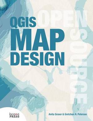
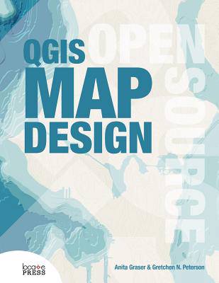
Learn how to use QGIS to take your cartographic products to the highest level. With step-by-step instructions for creating the most modern print map designs seen in any instructional materials to-date, this book covers everything from basic styling and labeling to advanced techniques like illuminated contours and dynamic masking. See how QGIS is rapidly surpassing the cartographic capabilities of any other geoware available today with its data-driven overrides, flexible expression functions, multitudinous color tools, blend modes, and atlasing capabilities. All example data and project files are included. Written by two of the leading experts in the realm of open source mapping, Anita Graser and Gretchen N. Peterson are experienced authors who pour their wealth of knowledge into the book. To get the most from the book, you'll need QGIS 2.14 LTR and a basic working knowledge of QGIS. Get ready to bump up your mapping experience!
Specificaties
Betrokkenen
- Auteur(s):
- Uitgeverij:
Inhoud
- Aantal bladzijden:
- 200
- Taal:
- Engels
Eigenschappen
- Productcode (EAN):
- 9780989421751
- Verschijningsdatum:
- 1/03/2016
- Uitvoering:
- Paperback
- Formaat:
- Trade paperback (VS)
- Afmetingen:
- 216 mm x 279 mm
- Gewicht:
- 635 g

Alleen bij Standaard Boekhandel
+ 78 punten op je klantenkaart van Standaard Boekhandel
Beoordelingen
We publiceren alleen reviews die voldoen aan de voorwaarden voor reviews. Bekijk onze voorwaarden voor reviews.


