- Afhalen na 1 uur in een winkel met voorraad
- Gratis thuislevering in België vanaf € 30
- Ruim aanbod met 7 miljoen producten
- Afhalen na 1 uur in een winkel met voorraad
- Gratis thuislevering in België vanaf € 30
- Ruim aanbod met 7 miljoen producten
Zoeken
€ 118,95
+ 237 punten
Uitvoering
Omschrijving
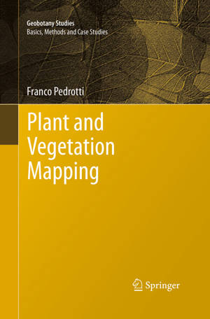
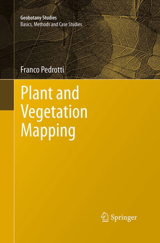
The book is concerned principally with geobotanical mapping. Geobotany is a broad science that deals with the study of species and of vegetation communities in relation to the environment; it includes other, perhaps more familiar sciences, such as plant geography, plant ecology, and chorology, and phytosociology (plant sociology).
Geobotanical cartography is a field of thematic cartography that deals with the interpretation and representation, in the form of maps, of those spatial and temporal phenomena that pertain to flora, vegetation, vegetated landscapes, vegetation zones, and phytogeographical units. The production of a geobotanical map represents the last stage in a cognitive process that begins with observations in the field and continues with the collection of sample data, interpretation of the phenomena observed, and their appropriate cartographic representation; geobotanical cartography is closely tied to the concepts and scope of geobotany in general
Geobotanical cartography is a field of thematic cartography that deals with the interpretation and representation, in the form of maps, of those spatial and temporal phenomena that pertain to flora, vegetation, vegetated landscapes, vegetation zones, and phytogeographical units. The production of a geobotanical map represents the last stage in a cognitive process that begins with observations in the field and continues with the collection of sample data, interpretation of the phenomena observed, and their appropriate cartographic representation; geobotanical cartography is closely tied to the concepts and scope of geobotany in general
Specificaties
Betrokkenen
- Auteur(s):
- Uitgeverij:
Inhoud
- Aantal bladzijden:
- 294
- Taal:
- Engels
- Reeks:
- Reeksnummer:
- nr. 2
Eigenschappen
- Productcode (EAN):
- 9783662510100
- Verschijningsdatum:
- 23/08/2016
- Uitvoering:
- Paperback
- Formaat:
- Trade paperback (VS)
- Afmetingen:
- 155 mm x 235 mm
- Gewicht:
- 5246 g

Alleen bij Standaard Boekhandel
+ 237 punten op je klantenkaart van Standaard Boekhandel
Beoordelingen
We publiceren alleen reviews die voldoen aan de voorwaarden voor reviews. Bekijk onze voorwaarden voor reviews.


