Bedankt voor het vertrouwen het afgelopen jaar! Om jou te bedanken bieden we GRATIS verzending (in België) aan op alles gedurende de hele maand januari.
- Afhalen na 1 uur in een winkel met voorraad
- In januari gratis thuislevering in België
- Ruim aanbod met 7 miljoen producten
Bedankt voor het vertrouwen het afgelopen jaar! Om jou te bedanken bieden we GRATIS verzending (in België) aan op alles gedurende de hele maand januari.
- Afhalen na 1 uur in een winkel met voorraad
- In januari gratis thuislevering in België
- Ruim aanbod met 7 miljoen producten
Zoeken
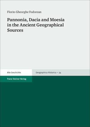
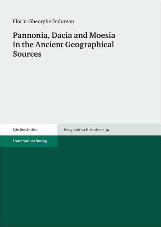
Pannonia, Dacia and Moesia in the Ancient Geographical Sources
Florin-Gheorghe Fodorean
€ 117,45
+ 234 punten
Uitvoering
Omschrijving
The Peutinger map and the Antonine itinerary represent two of the most important documents on travelling in the Roman world. With a focus on the three provinces Pannonia, Dacia and Moesia, Florin-Gheorghe Fodorean analyzes and compares the distances registered in these documents of ancient geography. By including data from other ancient sources - the Itinerarium Burdigalense, the Notitia Dignitatum, and the Cosmographia of the Anonymous from Ravenna - and by applying a new combination of methods, the author provides new insights into the Peutinger map and the Antonine itinerary. Fodorean discusses some important ancient literary sources, uses the data provided by milestones and compares the distances between the settlements recorded in the two documents. This new methodological approach leads him to the conclusion that the compilers of these most important documents of ancient geography used different sources.
Specificaties
Betrokkenen
- Auteur(s):
- Uitgeverij:
Inhoud
- Aantal bladzijden:
- 208
- Taal:
- Engels
- Reeks:
- Reeksnummer:
- nr. 34
Eigenschappen
- Productcode (EAN):
- 9783515112628
- Verschijningsdatum:
- 23/11/2016
- Uitvoering:
- Paperback
- Formaat:
- Trade paperback (VS)
- Afmetingen:
- 170 mm x 239 mm
- Gewicht:
- 367 g

Alleen bij Standaard Boekhandel
+ 234 punten op je klantenkaart van Standaard Boekhandel
Beoordelingen
We publiceren alleen reviews die voldoen aan de voorwaarden voor reviews. Bekijk onze voorwaarden voor reviews.


