
- Afhalen na 1 uur in een winkel met voorraad
- Gratis thuislevering in België vanaf € 30
- Ruim aanbod met 7 miljoen producten
- Afhalen na 1 uur in een winkel met voorraad
- Gratis thuislevering in België vanaf € 30
- Ruim aanbod met 7 miljoen producten


Omschrijving
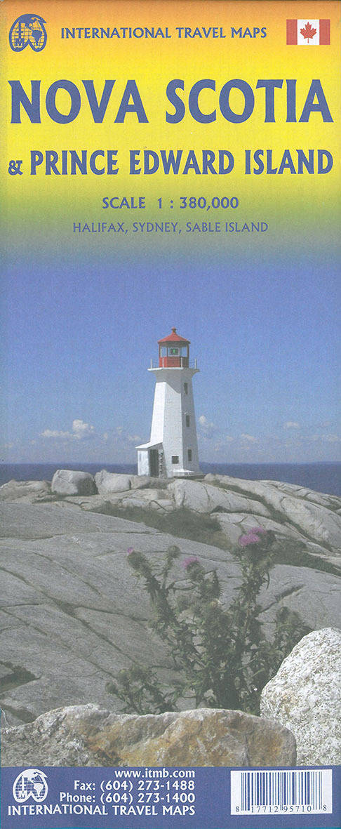
Wegenkaart Nova Scotia & Prins Edwardeiland
The map divides Nova Scotia north/south, with a generous overlap between the sides. Roads, railways and ferry connections are shown, with locations of visitors centres prominently highlighted. Other symbols mark national and provincial parks or protected areas, historic sites and museums, ski areas etc.
The historic Canadian province of Nova Scotia (New Scotland) was founded by the French as part of Acadia (now centred in New Brunswick). The fortress of Louisburg, on Cape Breton, was seized by the British, who founded Halifax in 1749. The colony grew rapidly, thanks to the American Revolution, and its many Loyalist settlements are today attractive tourist destinations. The self-governing colony attended the 1775 Philadelphia Convention, but left in disgust over the radicalism expressed by the slave-owning colonies, preferring to remain loyal. As a result of fears that it would be invaded following the American Civil Was, NS entered into discussions with other British American colonies, culminating in the founding of Canada as an independent country in 1867. Prince Edward Island followed a similar course, joining Canada in 1873. This double-sided map portrays both provinces in excellent detail, noting all major attractions, towns, parks, roads, and ferries. Inset maps of Halifax/Dartmouth and Sydney are included. ITMB also publishes a separate map of PEI showing greater detail. PEI is joined to the mainland by the exceptionally long Confederation Bridge and is a lovely, pastoral, province, home to Anne of Green Gables.
Specificaties
Betrokkenen
- Auteur(s):
- Uitgeverij:
Inhoud
- Taal:
- Engels
Eigenschappen
- Productcode (EAN):
- 9781771295710
- Verschijningsdatum:
- 1/02/2020
- Nieuwere uitgave:
- Uitvoering:
- Gevouwen kaart
- Afmetingen:
- 10 cm x 25 cm
- Gewicht:
- 51 g


Alleen bij Standaard Boekhandel
+ 23 punten op je klantenkaart van Standaard Boekhandel
AANGERADEN


Beoordelingen
We publiceren alleen reviews die voldoen aan de voorwaarden voor reviews. Bekijk onze voorwaarden voor reviews.