


- Afhalen na 1 uur in een winkel met voorraad
- Gratis thuislevering in België vanaf € 30
- Ruim aanbod met 7 miljoen producten
- Afhalen na 1 uur in een winkel met voorraad
- Gratis thuislevering in België vanaf € 30
- Ruim aanbod met 7 miljoen producten





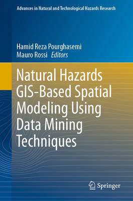
Natural Hazards GIS-Based Spatial Modeling Using Data Mining Techniques
€ 153,95
+ 307 punten
Omschrijving
This edited volume assesses capabilities of data mining algorithms for spatial modeling of natural hazards in different countries based on a collection of essays written by experts in the field. The book is organized on different hazards including landslides, flood, forest fire, land subsidence, earthquake, and gully erosion. Chapters were peer-reviewed by recognized scholars in the field of natural hazards research. Each chapter provides an overview on the topic, methods applied, and discusses examples used. The concepts and methods are explained at a level that allows undergraduates to understand and other readers learn through examples. This edited volume is shaped and structured to provide the reader with a comprehensive overview of all covered topics. It serves as a reference for researchers from different fields including land surveying, remote sensing, cartography, GIS, geophysics, geology, natural resources, and geography. It also serves as a guide for researchers, students, organizations, and decision makers active in land use planning and hazard management.
Specificaties
Betrokkenen
- Uitgeverij:
Inhoud
- Aantal bladzijden:
- 296
- Taal:
- Engels
- Reeks:
- Reeksnummer:
- nr. 48
Eigenschappen
- Productcode (EAN):
- 9783319733821
- Verschijningsdatum:
- 24/01/2019
- Uitvoering:
- Hardcover
- Afmetingen:
- 156 mm x 251 mm
- Gewicht:
- 672 g

Alleen bij Standaard Boekhandel
+ 307 punten op je klantenkaart van Standaard Boekhandel
Cadeau

AANGERADEN


Beoordelingen
We publiceren alleen reviews die voldoen aan de voorwaarden voor reviews. Bekijk onze voorwaarden voor reviews.