
- Afhalen na 1 uur in een winkel met voorraad
- In januari gratis thuislevering in België
- Ruim aanbod met 7 miljoen producten
- Afhalen na 1 uur in een winkel met voorraad
- In januari gratis thuislevering in België
- Ruim aanbod met 7 miljoen producten


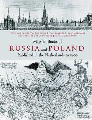
Maps in Books on Russia and Poland Published in the Netherlands to 1800
published in the Netherlands to 1800
Paula Van Gestel-Van Het Schip, Joop Kaashoek, Jaap Molenaar, Rob J Poelijoe, Henk Schipper, Hans Van Der Zwan
€ 175,00
+ 350 punten
Omschrijving
The decision to embark on researching maps in books has resulted in a publication, presenting an unique combination of maps, plans and views. It concerns those, tucked away in historical and geographical works on Russia and Poland, prior to 1800 and published in the Netherlands. Both maps and books are elaborately described, analysed and indexed; much attention has been lavished on their authors, engravers and publishers to boot. The cartographic subdivision of the maps according to their regions brings to light the specific interrelation between the various works by differing authors.
The comprehensive introduction describes the history of Russia and Poland from various points of view for specific subjects and comes richly illustrated with over 100 images. The cartobibliography contains illustrations for each of the over 700 maps described and the bibliography features a large number of title pages and portraits in addition. This unusual combination of research objectives should appeal to map and book historians and collectors alike. A large folding view of the city of Moscow by Cornelis de Bruijn (1711) has been added in facsimile at the back of this publication. Summaries in Russian and Polish complete this publication.
In English with Polish and Russian summary.
Maps in Books of Russia and Poland is part 13 of the Utrecht Studies on the History of Cartography (Explokart).
Specificaties
Betrokkenen
- Auteur(s):
- Vertaler(s):
- Uitgeverij:
Inhoud
- Aantal bladzijden:
- 750
- Taal:
- Engels
- Reeks:
- Reeksnummer:
- nr. 13
Eigenschappen
- Productcode (EAN):
- 9789061944409
- Verschijningsdatum:
- 1/01/2011
- Uitvoering:
- Hardcover
- Formaat:
- Genaaid
- Afmetingen:
- 246 mm x 320 mm
- Gewicht:
- 3977 g


Alleen bij Standaard Boekhandel
+ 350 punten op je klantenkaart van Standaard Boekhandel
Cadeau

AANGERADEN


Beoordelingen
We publiceren alleen reviews die voldoen aan de voorwaarden voor reviews. Bekijk onze voorwaarden voor reviews.