
- Afhalen na 1 uur in een winkel met voorraad
- Gratis thuislevering in België vanaf € 30
- Ruim aanbod met 7 miljoen producten
- Afhalen na 1 uur in een winkel met voorraad
- Gratis thuislevering in België vanaf € 30
- Ruim aanbod met 7 miljoen producten


Omschrijving
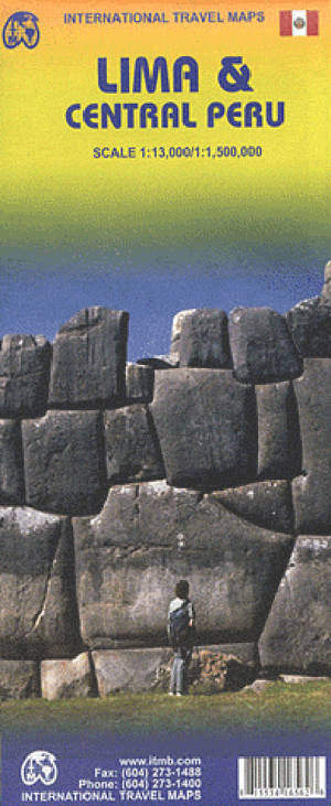
Stadsplan Lima en wegenkaart centraal Peru.
On once side is an indexed street plan of central Lima, including its historic town centre. Public transport stations are clearly marked and main traffic arteries are highlighted. The plan also shows various public buildings and services, places of interest, etc. Also provided are a road map of the city’s environs and a diagram of the railway/BRT network.
On the reverse is a road map of central Peru, with coverage including Cordillera Blanca and Huayhuash and extending north beyond Trujillo and Cajamarca, plus south beyond Nazca. Altitude colouring with spot heights, plus graphics for active volcanoes and swamps, etc. shows the topography. Places of interest including World Heritage sites such as Machu Picchu or the Nazca Lines, Inca sites, beaches and bird watching areas, etc. are highlighted.
Specificaties
Betrokkenen
- Auteur(s):
- Uitgeverij:
Inhoud
- Taal:
- Engels
Eigenschappen
- Productcode (EAN):
- 9781553416562
- Verschijningsdatum:
- 15/07/2016
- Uitvoering:
- Gevouwen kaart
- Afmetingen:
- 10 cm x 25 cm
- Gewicht:
- 54 g


Alleen bij Standaard Boekhandel
+ 23 punten op je klantenkaart van Standaard Boekhandel
AANGERADEN


Beoordelingen
We publiceren alleen reviews die voldoen aan de voorwaarden voor reviews. Bekijk onze voorwaarden voor reviews.