- Afhalen na 1 uur in een winkel met voorraad
- In januari gratis thuislevering in België
- Ruim aanbod met 7 miljoen producten
- Afhalen na 1 uur in een winkel met voorraad
- In januari gratis thuislevering in België
- Ruim aanbod met 7 miljoen producten
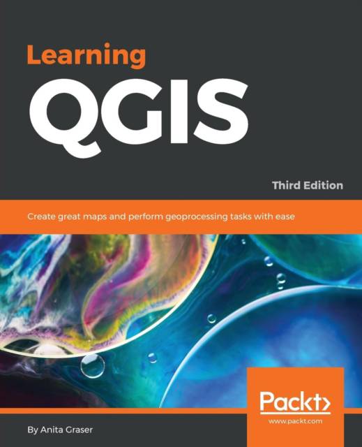
Learning QGIS - Third Edition
Create great maps and perform geoprocessing tasks with ease
Anita GraserOmschrijving
The latest guide to using QGIS 2.14 to create great maps and perform geoprocessing tasks with ease
Key Features
- Learn how to work with various data and create beautiful maps using this easy-to-follow guide.
- Give a touch of professionalism to your maps both for functionality and look and feel with the help of this practical guide.
- A progressive hands-on guide that builds on a geo-spatial data and adds more reactive maps by using geometry tools.
Book Description
QGIS is a user-friendly open source geographic information system (GIS) that runs on Linux, Unix, Mac OS X, and Windows. The popularity of open source geographic information systems and QGIS in particular has been growing rapidly over the last few years.
Learning QGIS Third Edition is a practical, hands-on guide updated for QGIS 2.14 that provides you with clear, step-by-step exercises to help you apply your GIS knowledge to QGIS. Through clear, practical exercises, this book will introduce you to working with QGIS quickly and painlessly.
This book takes you from installing and configuring QGIS to handling spatial data to creating great maps. You will learn how to load and visualize existing spatial
data and create data from scratch. You will get to know important plugins, perform common geoprocessing and spatial analysis tasks and automate them with Processing.
We will cover how to achieve great cartographic output and print maps. Finally, you will learn how to extend QGIS using Python and even create your own plugin.
What you will learn
- Install QGIS and get familiar with the user interface
- Load vector and raster data from files, databases, and web services
- Create, visualize, and edit spatial data
- Perform geoprocessing tasks and automate them
- Create advanced cartographic outputs
- Design great print maps
- Expand QGIS using Python
Who this book is for
This book is great for users, developers, and consultants who know the basic functions and processes of GIS and want to learn to use QGIS to analyze geospatial data and create rich mapping applications. If you want to take advantage of the wide range of functionalities that QGIS offers, then this is the book for you.
Specificaties
Betrokkenen
- Auteur(s):
- Uitgeverij:
Inhoud
- Aantal bladzijden:
- 210
- Taal:
- Engels
Eigenschappen
- Productcode (EAN):
- 9781785880339
- Verschijningsdatum:
- 10/03/2016
- Uitvoering:
- Paperback
- Formaat:
- Trade paperback (VS)
- Afmetingen:
- 190 mm x 235 mm
- Gewicht:
- 367 g

Alleen bij Standaard Boekhandel
Beoordelingen
We publiceren alleen reviews die voldoen aan de voorwaarden voor reviews. Bekijk onze voorwaarden voor reviews.


