Je cadeautjes zeker op tijd in huis hebben voor de feestdagen? Kom langs in onze winkels en vind het perfecte geschenk!
- Afhalen na 1 uur in een winkel met voorraad
- Gratis thuislevering in België vanaf € 30
- Ruim aanbod met 7 miljoen producten
Je cadeautjes zeker op tijd in huis hebben voor de feestdagen? Kom langs in onze winkels en vind het perfecte geschenk!
- Afhalen na 1 uur in een winkel met voorraad
- Gratis thuislevering in België vanaf € 30
- Ruim aanbod met 7 miljoen producten
Zoeken
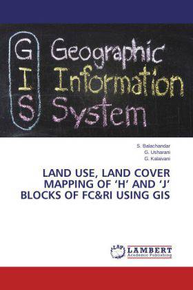
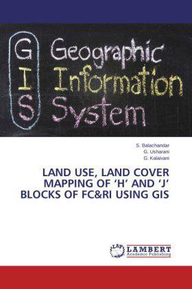
Land Use, Land Cover Mapping of H and J Blocks of FC&RI using GIS
S. Balachandar, G. Usharani, G. Kalaivani
Paperback | Engels
€ 48,95
+ 97 punten
Omschrijving
This book will give a complete idea about the digitization, ground truthing and mapping of earth surface using Geographic information system (GIS). This book was clearly manuscript into various chapters for easy understanding and completed with the help of various GIS specialist. The software used here was Arc.GIS-10. it is very easy and accessible to all format of operating systems. The maps were digitized in false colour composites.
Specificaties
Betrokkenen
- Auteur(s):
- Uitgeverij:
Inhoud
- Aantal bladzijden:
- 56
- Taal:
- Engels
Eigenschappen
- Productcode (EAN):
- 9783848489008
- Verschijningsdatum:
- 23/02/2014
- Uitvoering:
- Paperback
- Afmetingen:
- 150 mm x 220 mm
- Gewicht:
- 95 g

Alleen bij Standaard Boekhandel
+ 97 punten op je klantenkaart van Standaard Boekhandel
Beoordelingen
We publiceren alleen reviews die voldoen aan de voorwaarden voor reviews. Bekijk onze voorwaarden voor reviews.


