
- Afhalen na 1 uur in een winkel met voorraad
- Gratis thuislevering in België vanaf € 30
- Ruim aanbod met 7 miljoen producten
- Afhalen na 1 uur in een winkel met voorraad
- Gratis thuislevering in België vanaf € 30
- Ruim aanbod met 7 miljoen producten


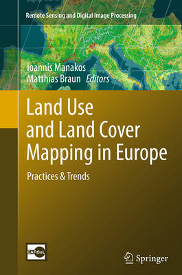
Land Use and Land Cover Mapping in Europe
Practices & Trends
€ 112,19
+ 224 punten
Omschrijving
Land use and land cover (LULC) as well as its changes (LUCC) are an interplay between bio-geophysical characteristics of the landscape and climate as well as the complex human interaction including its different patterns of utilization superimposed on the natural vegetation.
Specificaties
Betrokkenen
- Uitgeverij:
Inhoud
- Aantal bladzijden:
- 441
- Reeks:
Eigenschappen
- Productcode (EAN):
- 9789402405750
- Verschijningsdatum:
- 3/09/2016
- Uitvoering:
- Paperback
- Afmetingen:
- 155 mm x 235 mm
- Gewicht:
- 7677 g


Alleen bij Standaard Boekhandel
+ 224 punten op je klantenkaart van Standaard Boekhandel

Beoordelingen
We publiceren alleen reviews die voldoen aan de voorwaarden voor reviews. Bekijk onze voorwaarden voor reviews.