
- Afhalen na 1 uur in een winkel met voorraad
- Gratis thuislevering in België vanaf € 30
- Ruim aanbod met 7 miljoen producten
- Afhalen na 1 uur in een winkel met voorraad
- Gratis thuislevering in België vanaf € 30
- Ruim aanbod met 7 miljoen producten


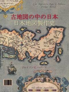

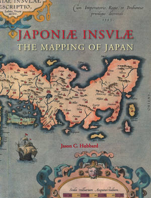
Japoniæ Insulæ the Mapping of Japan
A Historical Introduction and Cartobibliography of European Printed Maps of Japan Before 1800
Jason C Hubbard
€ 438,45
+ 876 punten
Omschrijving
Japoniæ insulæ The Mapping of Japan systematically categorizes and provides an overview of all the European printed maps of Japan published to 1800. The author has undertaken a review of the literature, conducted an exhaustive investigation in major libraries and private collections, analyzed these findings and then compiled information on 125 maps of Japan. The introduction contains information about the mapping to 1800, the typology of Japan by western cartographers, an overview on geographical names on early modern western maps of Japan and a presentation of the major cartographic models developed for this book.
In English with Japanese summary.
In English with Japanese summary.
Specificaties
Betrokkenen
- Auteur(s):
- Uitgeverij:
Inhoud
- Aantal bladzijden:
- 444
- Taal:
- Engels
- Reeks:
- Reeksnummer:
- nr. 14
Eigenschappen
- Productcode (EAN):
- 9789061945314
- Verschijningsdatum:
- 1/01/2012
- Uitvoering:
- Hardcover
- Formaat:
- Genaaid
- Afmetingen:
- 251 mm x 320 mm
- Gewicht:
- 2621 g


Alleen bij Standaard Boekhandel
+ 876 punten op je klantenkaart van Standaard Boekhandel
CADEAU


Beoordelingen
We publiceren alleen reviews die voldoen aan de voorwaarden voor reviews. Bekijk onze voorwaarden voor reviews.