
- Afhalen na 1 uur in een winkel met voorraad
- Gratis thuislevering in België vanaf € 30
- Ruim aanbod met 7 miljoen producten
- Afhalen na 1 uur in een winkel met voorraad
- Gratis thuislevering in België vanaf € 30
- Ruim aanbod met 7 miljoen producten


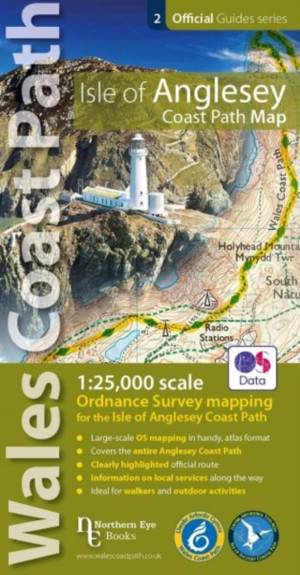
Isle of Anglesey Coast Path Map (WCP)
1:25 000 scale OS mapping for the Isle of Anglesey WCP
Paperback
€ 14,45
+ 28 punten
Omschrijving
Enhanced, large scale (1: 25,000) Ordnance Survey mapping in a handy atlas format with all the mapping you need to walk a complete circuit of the Anglesey section of the Wales Coast Path. Continuous OS mapping covering the complete circuit from Menai Bridge. Contains coastal extracts from large scale Explorer maps 262 and 263.
Specificaties
Betrokkenen
- Uitgeverij:
Inhoud
- Aantal bladzijden:
- 48
Eigenschappen
- Productcode (EAN):
- 9781908632593
- Verschijningsdatum:
- 4/11/2019
- Uitvoering:
- Paperback
- Afmetingen:
- 211 mm x 109 mm
- Gewicht:
- 84 g

Alleen bij Standaard Boekhandel
+ 28 punten op je klantenkaart van Standaard Boekhandel

Beoordelingen
We publiceren alleen reviews die voldoen aan de voorwaarden voor reviews. Bekijk onze voorwaarden voor reviews.