
- Afhalen na 1 uur in een winkel met voorraad
- Gratis thuislevering in België vanaf € 30
- Ruim aanbod met 7 miljoen producten
- Afhalen na 1 uur in een winkel met voorraad
- Gratis thuislevering in België vanaf € 30
- Ruim aanbod met 7 miljoen producten


€ 17,49
+ 17 punten
Omschrijving
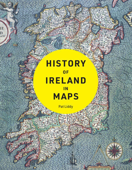
Explore Ireland’s fascinating story with more than 100 maps.
From the early history of the Emerald Isle to the modern day, Ireland has evolved rapidly – along with the ways in which it has been mapped. Cartography has not only kept pace with these changes, but often driven them.
Combining the artistic world of early cartography with modern computerised surveys, this is a beautiful and unique addition to any map- or history-lover’s collection. Irish author and historian Pat Liddy produces an invaluable history of Ireland and its relationship with its neighbours, and indeed, the world.
Featured maps include:
Ptolemaic Map of Ibernia, 15th century
Mercator’s Irlandiae Regnum, c. 1560
Battle of Kinsale, 1601
John Speed’s Map of Ireland, 1610
Down Survey, 1683
Siege of Londonderry, 1689
Survey of Dublin Bay, 1800
INFOMAR’s Map of the Seabed, 2019
Other books in the Collins History in Maps series:
History of War in Maps by Philip Parker (ISBN 9780008506490)
History of World Trade in Maps by Philip Parker (ISBN 9780008409296)


Alleen bij Standaard Boekhandel
+ 17 punten op je klantenkaart van Standaard Boekhandel
Cadeau

AANGERADEN


Beoordelingen
We publiceren alleen reviews die voldoen aan de voorwaarden voor reviews. Bekijk onze voorwaarden voor reviews.