
- Afhalen na 1 uur in een winkel met voorraad
- Gratis thuislevering in België vanaf € 30
- Ruim aanbod met 7 miljoen producten
- Afhalen na 1 uur in een winkel met voorraad
- Gratis thuislevering in België vanaf € 30
- Ruim aanbod met 7 miljoen producten


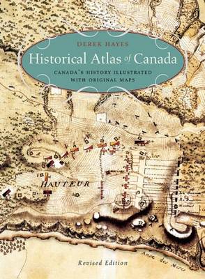
Historical Atlas of Canada
Canada's History Illustrated with Original Maps
Derek Hayes
Paperback | Engels
€ 37,45
+ 74 punten
Omschrijving
Maps tells the story in this innovative volume, and the story of Canada they tell is profoundly engrossing and rewarding. The atlas covers a period of a thousand years and contains essentially all the historically significant maps of the country. Gathered from major archives and libraries all over the world, they include treasures from the National Archives of Canada--many never before published--and many from the archives of the Hudson's Bay Company. Included are maps by the founder of New France, Samuel de Champlain, by Philip Turnor and Peter Fidler. There are English maps and French maps; Spanish maps and Russian maps; American, Italian and Dutch maps as well as maps drawn by Native people such as the Beothuk, Blackfoot and Cree. Canada's colourful past unfolds in sumptuous visual detail--history seen from a whole new perspective.
Specificaties
Betrokkenen
- Auteur(s):
- Uitgeverij:
Inhoud
- Aantal bladzijden:
- 272
- Taal:
- Engels
Eigenschappen
- Productcode (EAN):
- 9781771620796
- Verschijningsdatum:
- 10/11/2015
- Uitvoering:
- Paperback
- Formaat:
- Trade paperback (VS)
- Afmetingen:
- 251 mm x 343 mm
- Gewicht:
- 1564 g


Alleen bij Standaard Boekhandel
+ 74 punten op je klantenkaart van Standaard Boekhandel
AANGERADEN


Beoordelingen
We publiceren alleen reviews die voldoen aan de voorwaarden voor reviews. Bekijk onze voorwaarden voor reviews.