- Afhalen na 1 uur in een winkel met voorraad
- Gratis thuislevering in België vanaf € 30
- Ruim aanbod met 7 miljoen producten
- Afhalen na 1 uur in een winkel met voorraad
- Gratis thuislevering in België vanaf € 30
- Ruim aanbod met 7 miljoen producten
Zoeken
Omschrijving
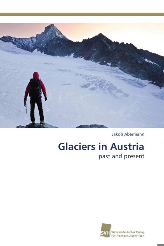
The glaciers in the Austrian Alps, their changes and their relationship to climate change are investigated. In Austria, there are about 900 glaciers, covering less than 450 km² in elevations between 2100 m and 3800 m. Two complete glacier inventories from 1969 and 1998 are used to present the glacier distribution and glacier changes at the end of the last century. Glacier changes between 1969 and 1998 were in total negative, interrupted by an advance in the late 1970s and early 1980s. Airborne Laser Scanning (ALS, LIDAR) proves to be an ideal tool to monitor glacier area and volume changes accurately. A new inventory is presented for the Ötztal Alps to demonstrate the potential of ALS for glacier inventories and to quantify the accelerated glacier retreat of the past decade. A model is applied to reconstruct annual balances for a large sample of glaciers in Austria (96% of total glacier covered area). The course of the annual balances is reproduced well by the model; a temporally adjusted set of tuning parameters improves its performance of the model, possible reasons for that are discussed.
Specificaties
Betrokkenen
- Auteur(s):
- Uitgeverij:
Inhoud
- Aantal bladzijden:
- 120
- Taal:
- Engels
Eigenschappen
- Productcode (EAN):
- 9783838128818
- Verschijningsdatum:
- 13/09/2011
- Uitvoering:
- Paperback
- Afmetingen:
- 150 mm x 220 mm
- Gewicht:
- 176 g

Alleen bij Standaard Boekhandel
+ 119 punten op je klantenkaart van Standaard Boekhandel
Beoordelingen
We publiceren alleen reviews die voldoen aan de voorwaarden voor reviews. Bekijk onze voorwaarden voor reviews.


