
- Afhalen na 1 uur in een winkel met voorraad
- Gratis thuislevering in België vanaf € 30
- Ruim aanbod met 7 miljoen producten
- Afhalen na 1 uur in een winkel met voorraad
- Gratis thuislevering in België vanaf € 30
- Ruim aanbod met 7 miljoen producten


Omschrijving
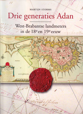
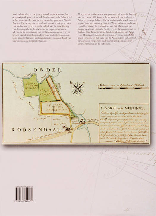
In the eighteenth and early nineteenth century three following generations of the Adan geometrician family where active in the western part of the province of Noord-Brabant, the Netherlands. The cartographic production of these three generations of geometricians gives a good impression of the development of Dutch cartography in the eighteenth and nineteenth century. This work is a scientific accountable reference book and a standard work about the cartographic heritance of the Adan family. It contains contributions about the local landscape, the history of the region, geometricians, the family history and the Adans in historic cartographic perspective. It also includes an annotated bibliography with descriptions and illustrations of nearly 1100 maps which the Adan geometricians have manufactured. The book contains many full-page maps in colour.
Specificaties
Betrokkenen
- Auteur(s):
- Uitgeverij:
Inhoud
- Aantal bladzijden:
- 282
- Taal:
- Nederlands
Eigenschappen
- Productcode (EAN):
- 9789061940401
- Verschijningsdatum:
- 13/02/2008
- Uitvoering:
- Hardcover
- Formaat:
- Genaaid
- Afmetingen:
- 225 mm x 305 mm
- Gewicht:
- 1650 g


Alleen bij Standaard Boekhandel
+ 219 punten op je klantenkaart van Standaard Boekhandel
CADEAU

CADEAU

E-BOOK ACTIE


Beoordelingen
We publiceren alleen reviews die voldoen aan de voorwaarden voor reviews. Bekijk onze voorwaarden voor reviews.