- Afhalen na 1 uur in een winkel met voorraad
- Gratis thuislevering in België vanaf € 30
- Ruim aanbod met 7 miljoen producten
- Afhalen na 1 uur in een winkel met voorraad
- Gratis thuislevering in België vanaf € 30
- Ruim aanbod met 7 miljoen producten
Zoeken
Omschrijving
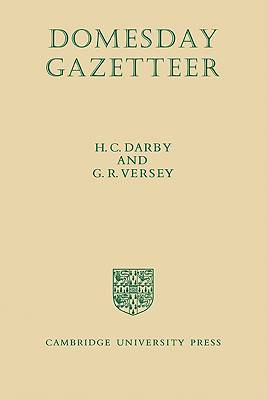
This Gazetteer is intended to supplement the other volumes of The Domesday Geography of England by providing an index of place-names together with maps showing their location. The number of separate places named in the Domesday Book amounts to over 13,400. They are often mentioned more than once in different spellings, with the result that the number of entries in the index exceeds 36,000. Both Domesday names and their modern equivalents are given, thus showing how the various Domesday names have been identified. The arrangement is intended to be useful to those who approach the Gazetteer either from the point of view of modern names or from that of Domesday names. The 65 pages of maps show the distribution of Domesday places against a background of relief and rivers. Although designed primarily for readers of The Domesday Geographies, the Gazetteer will also be of use to others who work in the field of English medieval history and geography.
Specificaties
Betrokkenen
- Auteur(s):
- Uitgeverij:
Inhoud
- Aantal bladzijden:
- 620
- Taal:
- Engels
- Reeks:
Eigenschappen
- Productcode (EAN):
- 9780521078580
- Verschijningsdatum:
- 11/09/2008
- Uitvoering:
- Paperback
- Formaat:
- Trade paperback (VS)
- Afmetingen:
- 150 mm x 226 mm
- Gewicht:
- 861 g

Alleen bij Standaard Boekhandel
+ 222 punten op je klantenkaart van Standaard Boekhandel
Beoordelingen
We publiceren alleen reviews die voldoen aan de voorwaarden voor reviews. Bekijk onze voorwaarden voor reviews.


