


- Afhalen na 1 uur in een winkel met voorraad
- Gratis thuislevering in België vanaf € 30
- Ruim aanbod met 7 miljoen producten
- Afhalen na 1 uur in een winkel met voorraad
- Gratis thuislevering in België vanaf € 30
- Ruim aanbod met 7 miljoen producten





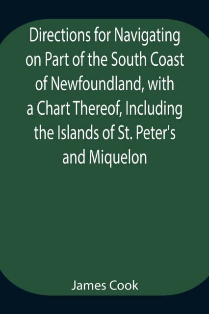
Directions For Navigating On Part Of The South Coast Of Newfoundland, With A Chart Thereof, Including The Islands Of St. Peter'S And Miquelon And A Particular Account Of The Bays, Harbours, Rocks, Land-Marks, Depths Of Water, Latitudes, Bearings, And Dista
Cook
Paperback | Engels
€ 26,45
+ 52 punten
Omschrijving
Hoist your curiosity and chart a storied coast with a book that reads like a compass for the imagination. This is more than a guide; it is a doorway to eighteenth-century maritime life. Directions For Navigating On Part Of The South Coast Of Newfoundland pairs practical detail with the poetry of the sea, offering a coastal chart atlas that councils the reader through bays, harbours, rocks, and landmarks. Readers encounter depth sounding records, bearings, and the flowing tides, framed by an actual survey conducted for Commodore Pallisser. The result is a clear, actionable resource for maritime researchers, nautical training, and anyone drawn to the era of exploration along the northern Atlantic shores. The work stands as a landmark in literary and historical significance: a rare, authentic snapshot of early navigation, a window into the methods and mindset of its time, and a touchstone for collectors of classic nautical charts. For casual readers, it unfolds like a maritime mystery and a travelogue bound to the coast; for literature lovers, it feels like a venerable artefact brought to life. Out of print for decades and now republished by Alpha Editions. Restored for today's and future generations. More than a reprint - a collector's item and a cultural treasure. This edition invites both the curious sailor and the serious bibliophile to navigate its pages and imagine the sea as a living chart.
Specificaties
Betrokkenen
- Auteur(s):
- Uitgeverij:
Inhoud
- Aantal bladzijden:
- 24
- Taal:
- Engels
Eigenschappen
- Productcode (EAN):
- 9789354944796
- Verschijningsdatum:
- 17/08/2021
- Uitvoering:
- Paperback
- Formaat:
- Trade paperback (VS)
- Afmetingen:
- 152 mm x 229 mm
- Gewicht:
- 49 g


Alleen bij Standaard Boekhandel
+ 52 punten op je klantenkaart van Standaard Boekhandel
Cadeau

AANGERADEN


Beoordelingen
We publiceren alleen reviews die voldoen aan de voorwaarden voor reviews. Bekijk onze voorwaarden voor reviews.