
- Afhalen na 1 uur in een winkel met voorraad
- Gratis thuislevering in België vanaf € 30
- Ruim aanbod met 7 miljoen producten
- Afhalen na 1 uur in een winkel met voorraad
- Gratis thuislevering in België vanaf € 30
- Ruim aanbod met 7 miljoen producten


€ 29,95
+ 59 punten
Omschrijving
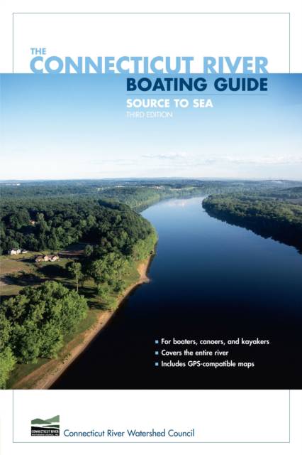
This is the all-new edition of the Connecticut River Boating Guide, the standard resource for boaters, canoeists, and kayakers. It includes thirty-two GPS-compatible maps that together map the entire length of the river. Data for twenty-eight river reaches include information on mileage, navigability, difficulty, sources of flow information, portages, camping, USGS maps and NOAA charts, special fishing regulations, boating facilities, and more. The narrative text accompanying the maps is a mile-by-mile description of the river with detailed information on landmarks, navigational hazards, conservation, wildlife, and history. The book is authored by, and published in cooperation with, the Connecticut River Watershed Council, the leading organization devoted to management of the river and its watershed.
Specificaties
Betrokkenen
- Auteur(s):
- Uitgeverij:
Inhoud
- Aantal bladzijden:
- 256
- Taal:
- Engels
- Reeks:
Eigenschappen
- Productcode (EAN):
- 9780762740970
- Verschijningsdatum:
- 1/04/2007
- Uitvoering:
- Paperback
- Formaat:
- Trade paperback (VS)
- Afmetingen:
- 174 mm x 229 mm
- Gewicht:
- 426 g


Alleen bij Standaard Boekhandel
+ 59 punten op je klantenkaart van Standaard Boekhandel
Cadeau

AANGERADEN


Beoordelingen
We publiceren alleen reviews die voldoen aan de voorwaarden voor reviews. Bekijk onze voorwaarden voor reviews.