Je cadeautjes zeker op tijd in huis hebben voor de feestdagen? Kom langs in onze winkels en vind het perfecte geschenk!
- Afhalen na 1 uur in een winkel met voorraad
- Gratis thuislevering in België vanaf € 30
- Ruim aanbod met 7 miljoen producten
Je cadeautjes zeker op tijd in huis hebben voor de feestdagen? Kom langs in onze winkels en vind het perfecte geschenk!
- Afhalen na 1 uur in een winkel met voorraad
- Gratis thuislevering in België vanaf € 30
- Ruim aanbod met 7 miljoen producten
Zoeken
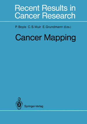
Cancer Mapping
€ 150,48
+ 300 punten
Omschrijving
The preceding decade has seen the production of many cancer at- lases. As with other techniques of descriptive epidemiology, these atlases have proved valuable in identifying areas for further re- sear h employing the methods of analytical epidemiology. How- ever, the various cancer atlases produceq to date have failed to pro- vide a common format of presentation, which has limited their comparability and frustrated in a large measure any attempt to compare risks across national boundaries, boundaries which in terms of environmental exposures may have little meaning. In this volume, many features of cancer atlases are presented and there are discussions on the areas where moves towards standardization could greatly increase the utility of the finished product. In contrast to topographic maps, i. e., representations of natural and man-made features on the surface of the earth, thematic maps concentrate on displaying the geographical occurrence and varia- tion of a single phenomenon - the "theme" of the map. The link between thematic and base mapping is rather strong as the themat- ic information to be depicted is of greater value if displayed on an accurate base map. Further, the thematic map generally uses statis- tical data which are frequently related to internal administrative boundaries for enumeration. The major reason for constructing a thematic map is to discover the spatial structure of the theme of the map and to then relate the structure to some aspects of the under- lying environment.
Specificaties
Betrokkenen
- Uitgeverij:
Inhoud
- Aantal bladzijden:
- 277
- Taal:
- Engels
- Reeks:
- Reeksnummer:
- nr. 114
Eigenschappen
- Productcode (EAN):
- 9783642836534
- Verschijningsdatum:
- 5/12/2011
- Uitvoering:
- Paperback
- Formaat:
- Trade paperback (VS)
- Afmetingen:
- 170 mm x 244 mm
- Gewicht:
- 467 g

Alleen bij Standaard Boekhandel
+ 300 punten op je klantenkaart van Standaard Boekhandel
Beoordelingen
We publiceren alleen reviews die voldoen aan de voorwaarden voor reviews. Bekijk onze voorwaarden voor reviews.


