Bedankt voor het vertrouwen het afgelopen jaar! Om jou te bedanken bieden we GRATIS verzending (in België) aan op alles gedurende de hele maand januari.
- Afhalen na 1 uur in een winkel met voorraad
- In januari gratis thuislevering in België
- Ruim aanbod met 7 miljoen producten
Bedankt voor het vertrouwen het afgelopen jaar! Om jou te bedanken bieden we GRATIS verzending (in België) aan op alles gedurende de hele maand januari.
- Afhalen na 1 uur in een winkel met voorraad
- In januari gratis thuislevering in België
- Ruim aanbod met 7 miljoen producten
Zoeken
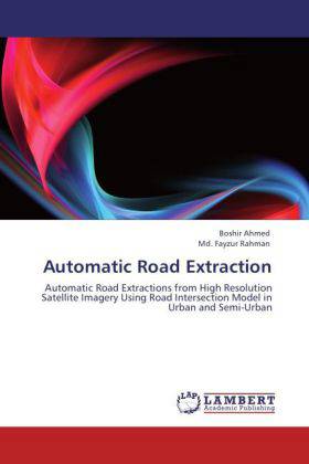
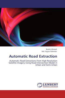
Automatic Road Extraction
Automatic Road Extractions from High Resolution Satellite Imagery Using Road Intersection Model in Urban and Semi-Urban
Boshir Ahmed, Md. Fayzur Rahman
Paperback | Engels
€ 63,45
+ 126 punten
Omschrijving
This paper proposes intersection model and strategy for road extraction from high resolution satellite images. Satellite images are rich in information. For Geographic Information System (GIS), many features require fast and reliable extraction of roads and intersections. They are also complex to analyze. Satellite image provides useful data that is extracted from satellite image of the urban area. Automatic extraction of the road intersections from the urban areas has been a challenging topic because the high resolution satellite images contain multiple layers that represent roads, buildings, and other high density objects. Our goals is to automatically separate the road layer from the other layers then extract the road intersections. Usually traditional image processing methods don t achieve satisfied performance in case of satellite images. This paper proposes a modified and a cost effective method for road extraction from high resolution satellites images.
Specificaties
Betrokkenen
- Auteur(s):
- Uitgeverij:
Inhoud
- Aantal bladzijden:
- 92
- Taal:
- Engels
Eigenschappen
- Productcode (EAN):
- 9783846535080
- Verschijningsdatum:
- 31/01/2012
- Uitvoering:
- Paperback
- Afmetingen:
- 152 mm x 229 mm
- Gewicht:
- 145 g

Alleen bij Standaard Boekhandel
+ 126 punten op je klantenkaart van Standaard Boekhandel
Beoordelingen
We publiceren alleen reviews die voldoen aan de voorwaarden voor reviews. Bekijk onze voorwaarden voor reviews.


