


- Afhalen na 1 uur in een winkel met voorraad
- Gratis thuislevering in België vanaf € 30
- Ruim aanbod met 7 miljoen producten
- Afhalen na 1 uur in een winkel met voorraad
- Gratis thuislevering in België vanaf € 30
- Ruim aanbod met 7 miljoen producten





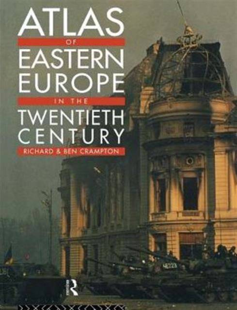
Atlas of Eastern Europe in the Twentieth Century
Richard Crampton, Benjamin Crampton
Paperback | Engels
€ 88,95
+ 177 punten
Uitvoering
Omschrijving
An invaluable guide to a complex subject, this atlas: * gives a general introduction to the physical, ethnic and religious composition of the region * includes summary maps of Eastern Europe in 1900, 1923, and 1945 * charts the ebb and flow of the first and second world wars in Eastern Europe * presents detailed information relating to consituent territories, elections, economic developments and land holding patterns for key individual countries in the inter-war years * provides crucial social and economic data, evidencing changes under communist domination * gives maps of the new states of the post-communist years with details of elections and economic indicators for Belarus, Bosnia-Hercegovina, Croatia, The Czech Republic, Estonia, Latvia, Lithuania, Macedonia, Moldova, Slovakia and others. * contains an extensive glossary listing the major towns of the area under their linguistic variants
Specificaties
Betrokkenen
- Auteur(s):
- Uitgeverij:
Inhoud
- Aantal bladzijden:
- 316
- Taal:
- Engels
Eigenschappen
- Productcode (EAN):
- 9780415164610
- Verschijningsdatum:
- 10/07/1997
- Uitvoering:
- Paperback
- Formaat:
- Trade paperback (VS)
- Afmetingen:
- 190 mm x 245 mm
- Gewicht:
- 789 g


Alleen bij Standaard Boekhandel
+ 177 punten op je klantenkaart van Standaard Boekhandel
Cadeau

AANGERADEN


Beoordelingen
We publiceren alleen reviews die voldoen aan de voorwaarden voor reviews. Bekijk onze voorwaarden voor reviews.