
Bedankt voor het vertrouwen het afgelopen jaar! Om jou te bedanken bieden we GRATIS verzending (in België) aan op alles gedurende de hele maand januari.
- Afhalen na 1 uur in een winkel met voorraad
- In januari gratis thuislevering in België
- Ruim aanbod met 7 miljoen producten
Bedankt voor het vertrouwen het afgelopen jaar! Om jou te bedanken bieden we GRATIS verzending (in België) aan op alles gedurende de hele maand januari.
- Afhalen na 1 uur in een winkel met voorraad
- In januari gratis thuislevering in België
- Ruim aanbod met 7 miljoen producten


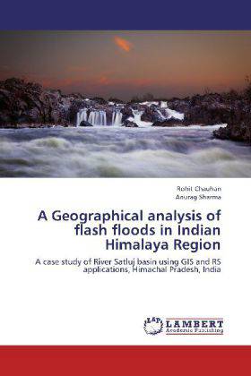
A Geographical analysis of flash floods in Indian Himalaya Region
A case study of River Satluj basin using GIS and RS applications, Himachal Pradesh, India
Rohit Chauhan, Anurag Sharma
Paperback | Engels
€ 58,45
+ 116 punten
Omschrijving
Geography encompasses a wide area of study; each section deserving an entire volume to itself. The book associated with occurrences of flash floods in River Satluj flowing within in Himachal Pradesh. On account of geographical position, climate and geological setting Himachal Pradesh is the worst disaster affected state. To identification of vulnerable areas and assessment of their damages were analysis with most advanced and essential fields of geography, known as Geographic Information System (GIS) and Remote Sensing (RS). The book aims on make use of different applications of GIS and remote sensing for studying and understanding flash floods occurring in River Satluj. With the help of Remote Sensing and Geographical Information System, the classification and mapping of study area is analyzed. These analysis are systematically explained in text and accompanied by copious diagrams, maps, tables and charts
Specificaties
Betrokkenen
- Auteur(s):
- Uitgeverij:
Inhoud
- Aantal bladzijden:
- 148
- Taal:
- Engels
Eigenschappen
- Productcode (EAN):
- 9783659236440
- Uitvoering:
- Paperback
- Afmetingen:
- 150 mm x 220 mm


Alleen bij Standaard Boekhandel
+ 116 punten op je klantenkaart van Standaard Boekhandel
SOLDEN


Beoordelingen
We publiceren alleen reviews die voldoen aan de voorwaarden voor reviews. Bekijk onze voorwaarden voor reviews.