
- Afhalen na 1 uur in een winkel met voorraad
- Gratis thuislevering in België vanaf € 30
- Ruim aanbod met 7 miljoen producten
- Afhalen na 1 uur in een winkel met voorraad
- Gratis thuislevering in België vanaf € 30
- Ruim aanbod met 7 miljoen producten


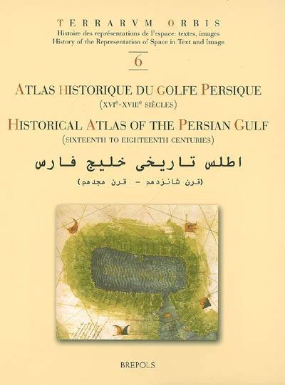
Atlas Historique Du Golfe Persique (Xvie-Xviiie Siecles) - Historical Atlas of the Persian Gulf (Sixteenth to Eighteenth Centuries)
Z Biedermann
€ 47,70
+ 95 punten
Omschrijving
The Historical Atlas of the Persian Gulf is a joint initiative of the Ecole Pratique des Hautes Etudes in Paris, the University of Tehran, and the Documentation Centre of the Ministry of Foreign Affairs of Iran. The aim of this trilingual (French, English and Persian) publication is to trace the evolution of the cartographical representations of the Gulf between 1500 and 1750. About a hundred printed and manuscript maps from libraries and archives all over Europe, the United States and Iran have been gathered, some of them being published for the first time. The maps and charts are presented in five sections dedicated to Portuguese, Dutch, French, English and German cartography. Each item is published with enlarged detail reproductions showing the Gulf, and accompanied by brief commentaries as well as transcriptions of the place names and legends. The authors make numerous suggestions as to how the maps and charts developed in the context of international scientific exchange during the Early Modern age. Hence, the Atlas shows new perspectives on the genealogy of Gulf maps and provides an excellent working tool for future research on the cartography and the history of one of the Worlds great strategic areas.
Specificaties
Betrokkenen
- Auteur(s):
- Uitgeverij:
Inhoud
- Aantal bladzijden:
- 492
- Taal:
- Engels, Frans, Perzisch
- Reeks:
- Reeksnummer:
- nr. 6
Eigenschappen
- Productcode (EAN):
- 9782503522845
- Verschijningsdatum:
- 31/12/2006
- Uitvoering:
- Hardcover
- Formaat:
- Genaaid
- Afmetingen:
- 210 mm x 280 mm
- Gewicht:
- 366 g


Alleen bij Standaard Boekhandel
+ 95 punten op je klantenkaart van Standaard Boekhandel
Cadeau

AANGERADEN


Beoordelingen
We publiceren alleen reviews die voldoen aan de voorwaarden voor reviews. Bekijk onze voorwaarden voor reviews.